

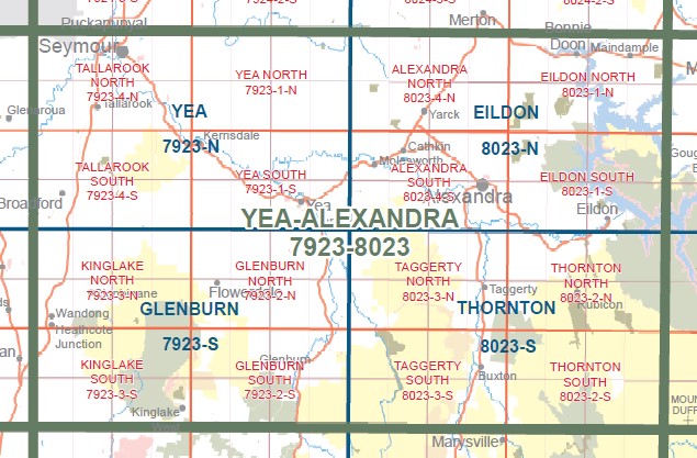
YEA NORTH 1-25,000 Vicmap Topographic Map 7923-1-N
$14.00 – $26.00
Description:
YEA NORTH 1-25,000 Vicmap Topographic Map 79231N Now Print On Demand is used for Walking, 4WD, Fishing, Camping, Motorcycle, both On and Off Road, Gold Prospecting and for those simply going for a family weekend drive.
This is a new series of 1-25,000 scale maps, all of Victoria is now covered by these maps, including maps over the South Australian and NSW Borders.
Topographical maps show not only Contours of the Terrain but Walking Tracks, Sealed and Unsealed Roads, Rivers, Creeks, Lakes, Historical Points of Interest Old Mine Sites mbtg and National and State Park areas.
Now available printed on Waterproof Plastic Paper Folded
Main Features of this map includes:
Covers the old series Dropmore and Mount Stewart maps
Mount Eaglehawk, Cherry Tree Range, Uralba Falls, Mount Stewart, Hughes Creek, Mount Hellen, Switzerland Ranges, Mount Broughton, Home Creek Falls, Highlands, Highlands Pioneer Memorial, Mount Tickatory, Dropmore, Wattle Hill, Dunn Hill, Mafeking Rover Park
You may also like…
-
Yan Yean North 1-25,000 Topographic Map Vicmap 7922-4-N
$14.00 – $26.00Select options This product has multiple variants. The options may be chosen on the product page -
Yea 1-50,000 Vicmap
$12.00 – $24.00Select options This product has multiple variants. The options may be chosen on the product page -
YEA SOUTH 1-25,000 Vicmap Topographic Map 7923-1-S
$14.00 – $26.00Select options This product has multiple variants. The options may be chosen on the product page -
Yan Yean South 1-25,000 Topographic Vicmap 7922-4-S
$14.00 – $26.00Select options This product has multiple variants. The options may be chosen on the product page