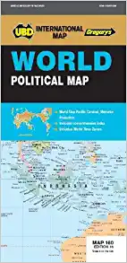
World Political Map 160 UBD Gregorys
Description:
World Political Map 160 UBD Gregorys
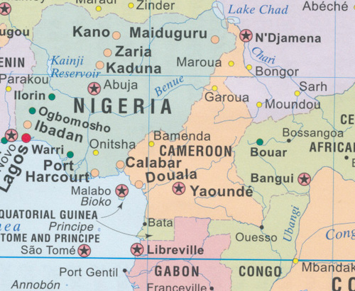
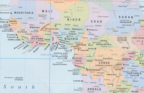
Detailed map of the World, Pacific Centered at a scale of 1: 40 754 000
Mercator projection
Comprehensive index with lists of Countries, National Capitals, State/Provincial names, State/Provincial Capitals, Dependency Territories, Deserts, Headlands, Island/Island Groups, Mountain/Mountain Ranges, Peninsulas, Regions, Oceans/Seas, Sounds, Straits, Bays, Ice Shelves, Reef, Lakes, Reservoirs and Rivers.
- Language : English
- ISBN-10 : 0731930886
- ISBN-13 : 9780731930883
- Item Weight : 2.82 ounces
- Dimensions : 4.57 x 0.47 x 9.8 inches
Read More


