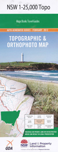
Woodhouselee 1-25,000 NSW Topographic Map
$16.95 – $31.95
Description:
8828-4-NPrint on Demand
Locations within this Map
Back Creek Bald Hill Black Range Black Hill Bulga Creek Bulga Hill Cobbys Hill Dawsons Creek Emu Flat First Creek Germans Pinch Grants Flat Grays Creek Green Gully Green Hill Halfway Flat Harvey Hayes Sugarloaf Hobbs Kialla Creek The Lagoon Lannigans Creek Long Range Long Ridge Little Vale Hill Mcgregors Flat Melamalong Chain of Ponds Melamalong Creek Middle Arm Middle Creek Miller Mine Hill Minoghue Gully Monument Hill Native Dog Creek Oak Hill Park Hill Pattersons Hill Peach Peach Hill Pearces Hill Mount Pedlar Pegar Pegar Creek Pejar Pejar Creek Pejar Dam Pejar Lake Pigmans Hill Podmore Pomeroy Purfitts Gully Razorback Hill The Razorback Rhyana Round Hill Sawpit Gully Steeves Creek The Sugarloaf Table Mount Tennis Racquet Waterhole Third Creek Tower Hill Upper Tarlo Washpen Creek Wayo Mount Wayo Woodhouse Creek Woodhouselee Woodhouselee Railway Station Wooroondooroonbidgee Creek Dog Rocks Burgess Creek Butts Kialla Roslyn Athol Vale Tarlo Creek Woodhouselea Graywood
| Name: | Woodhouselee |
| Publisher: | New South Wales Government |
| Scale: | 1:25000 |
| Latitude Range: | 34° 30.0′ S – 34° 37.5′ S |
| Longitude Range: | 149° 30.0′ E – 149° 45.0′ E |
| Datum: | GDA 94 |
| Approx Print Size: | 0.56m X 1.11m |

