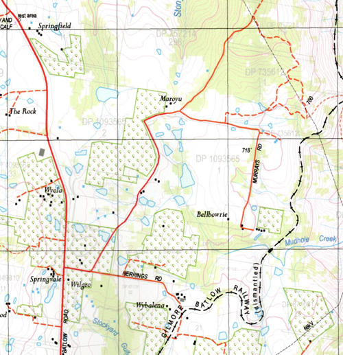
Wondalga 1-25,000 NSW Topographic Map
$16.95 – $31.95
Description:
8527-3-S Print on Demand
Ardrossan Eastern Branch of Adelong Creek Basin Creek Batlow Black Springs Creek Blowering Dam Black Spring or Wilson Creek Browne Creek Browns Creek Cockatoo Creek Coorabin Railway Station Germans Creek Gilmore Hillas Hindmarsh Hindmarsh Creek Kendall The Devils Grip Germans Gully Gilmore Upper Public School Green Hills Leech Creek Leech Gully Mudhole Creek Peels Creek Public School Pilot Hill Right Arm Creek Sharps Creek Shaws Railway Station Snubba Range Spring Creek Stockyard Creek Stockyard Gully Stony Creek Tumut State Forest Uncles Creek Wereboldera Wereboldera Railway Station Wilsons Creek Wondalga Village of Wondalga Wybalena Railway Station Yellowin Cannon Bay Cow and Calf Rocky Point The Flats Windy Point Island Forest Park Green Valley The Pilot Wybalena
| Name: | Wondalga |
| Publisher: | New South Wales Government |
| Scale: | 1:25000 |
| Latitude Range: | 35° 22.5′ S – 35° 30.0′ S |
| Longitude Range: | 148° 0.0′ E – 148° 15.0′ E |
| Datum: | GDA 94 |
| Approx Print Size: | 0.56m X 1.11m |


