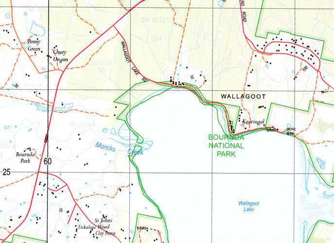
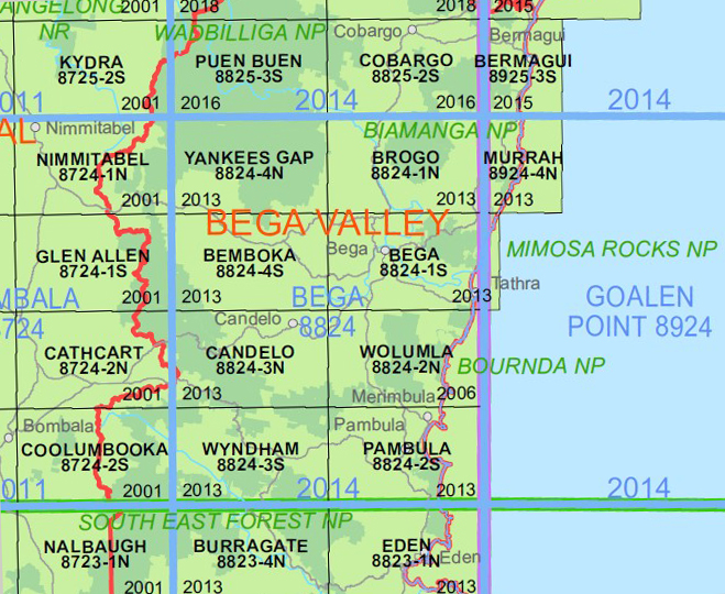
Wolumla 1-25,000 NSW Topographic Map
$16.95 – $29.95
Description:
Wolumla 1-25,000 NSW Topographic Map 8824-2-N Print on Demand
Also now available printed on Plastic Waterproof Paper Folded
Tura Beach Wolumla Back Creek Black Range Bloomfields Cove Bondi Lake Bournda Bournda Beach Bournda Island Bournda Nature Reserve Bournda State Recreation Area Greendale Creek Hickory or Horse Swamp Killarney Creek Lithgow Flat Long Bridge Margaret Creek Merimbula Creek Merrimbula Creek Mount Misery Newlands Creek Policemans Cap Hill Sandy Beach Creek Ergeants Swamp Short Point Beach Three Mile Water Hole Toothdale Tura Tura Head Turingal Head Turingal Rock Wallagoot Beach Wallagoot Gap mbtg Wallagoot Lagoon Wallagoot Lake Wolumla Public School Yellow Pinch Yellow Pinch Creek Yellow Pinch Dam Bournda Lagoon Hobart Beach Moncks Creek Scotts Bay South Wolumla Frogs Hollow Wallagoot Wallagoo Lake Turingal Point Wolumla South Bournda Islet Millingandi Milligandi
| Name: | Wolumla |
| Publisher: | New South Wales Government |
| Scale: | 1:25,000 |
| Latitude Range: | 36° 45.0′ S – 36° 52.5′ S |
| Longitude Range: | 149° 45.0′ E – 150° 0.0′ E |
| Datum: | GDA 94 |
| Approx Print Size: | 0.56m X 1.11m |
You may also like…
-
Pambula 1-25,000 NSW Topographic Map
$16.95 – $29.95Select options This product has multiple variants. The options may be chosen on the product page -
Far South Coast Map NSW Forestry Folded and Flat
$14.00 – $26.00Select options This product has multiple variants. The options may be chosen on the product page -
Candelo 1-25,000 NSW Topographic Map
$16.95 – $29.95Select options This product has multiple variants. The options may be chosen on the product page -
South Coast New South Wales Flat Map
$15.95 – $27.95Select options This product has multiple variants. The options may be chosen on the product page -
Bega 1-25,000 NSW Topographic Map
$16.95 – $29.95Select options This product has multiple variants. The options may be chosen on the product page


