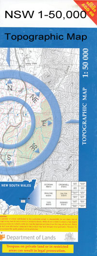
Wilson 1-50,000 NSW Topographic Map
$16.95 – $31.95
Description:
Wilson 8027N 1-50,000 scale NSW Topographical map is used for Walking, 4WD, Fishing, Camping, Motorcycle, both On and Off Road, Gold Prospecting and for those simply going for a family weekend drive.
Topographical maps show not only Contours of the Terrain but also Walking Tracks, Sealed and Unsealed Roads, Rivers, Creeks, Lakes, Historical Point of Interest, Old Mine Sites and National and State Park areas.
 We can Now LAMINATE and fold your map for $12.00. Just click on the image and add to the Trolley
NOW AVAILABLE PRINT ON DEMAND
Locations within this Map
Bolton Broome Cadell Cocketgedong Delta Creek Delta Dam Goolgumbla Hoggarths Sandhills Mabins Corner Tank Mabins Corner Well Mccoys Sandhill Mairjimmy Lagoon Nardoo Nine Mile Dam North Yathong Railway Station Stanley Thurrowa Turn Back Jimmy Creek Wilson Wood Yellow Creek Bundure Bundure North Katamatite Telephone Exchange Riverina Hawks Nest Boyd Tank East Park Four Mile Dam Bundure Tank Wood Park Bendigo Dam North Yathong
| Name: | Wilson |
| Publisher: | New South Wales Government |
| Scale: | 1:50000 |
| Latitude Range: | 35° 0.0′ S – 35° 15.0′ S |
| Longitude Range: | 145° 30.0′ E – 146° 0.0′ E |
| Datum: | GDA 94 |

