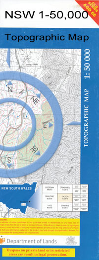
Wanganella 1-50,000 NSW Topographic Map
$16.95 – $31.95
Description:
Wanganella 7827N 1-50,000 scale NSW Topographical map is used for Walking, 4WD, Fishing, Camping, Motorcycle, both On and Off Road, Gold Prospecting and for those simply going for a family weekend drive.
Topographical maps show not only Contours of the Terrain but also Walking Tracks, Sealed and Unsealed Roads, Rivers, Creeks, Lakes, Historical Point of Interest, Old Mine Sites and National and State Park areas.
 We can Now LAMINATE and fold your map for $12.00. Just click on the image and add to the Trolley
NOW AVAILABLE PRINT ON DEMAND
Locations within this Map
Barratta Billabong Black Swamp Tank Black Swamp Creek Black Swamp Bingellibunbi Booroorban Box Creek Carroonboon Carroonboon Creek Carroonboon North Clarkes Creek Cooks Ridge Coopers Swamp Cootnite Eight Mile Creek Estuary Creek Five Corners Forest Anabranch Gonawarra Jumping Sandhills Forest Creek Hobbs Well Kirrabirri Mallee North Zara Officer Peppin Peppin Park Ricketson South Zara Stanaforth The Three Sisters Three Sisters Swamp Trotting Cob Hill Turn Back Jimmy Turn Back Jimmys Watercourse Two Mile Creek Walkers Ridge Wanganella Wanganella Cemetery Wanganella Creek Wangonilla Wargam Warwillah Winter Dillons Swamp Devon Dulverton Bundyulumblah The Ranch Cooroonboon Browns Creek Booabula East
| Name: | Wanganella |
| Publisher: | New South Wales Government |
| Scale: | 1:50000 |
| Latitude Range: | 35° 0.0′ S – 35° 15.0′ S |
| Longitude Range: | 144° 30.0′ E – 145° 0.0′ E |
| Datum: | GDA 94 |

