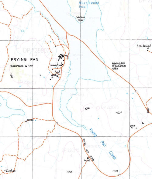
Wambrook 1-25,000 NSW Topographic Map
$16.95 – $31.95
Description:
8625-1-S Print on Demand
Arthella Inlet Badgerys Creek Boconnoc Island Black Range Bridle Creek Brookwood Bay Buckenderra Buckenderra Creek Clear Hill Peninsula Clover Point Coolringdon Coolringdon Hill Cootralantra Lake Crookshanks Peak Crookshanks Dargins Flat Elbow Pinch Frying Pan Creek Growlers Gully Gygederick Honeysuckle Hill Island Lake Jeffs Creek Dargans Flat Frying Pan Frying Pan or Namung Creek Lake Lake Plain Middlingbank Midway Point Murlingbung Hill Murroo Muzzlewood Inlet Neriwa Island Numungo or Frying Pan Creek Paddy Bryans Flat Pasture Bay Pat Ann Creek Peak Creek Peters Flat Plover Island Quail Island Rats castle Creek Rhine Falls Rushy Plain Bay Sheep Station Creek Shepherds Point The Peak Tom Trys Point Try Villa Inlet Wallace Wambrook Wambrook Creek Wambrook Hill Waterfall or Wambrook Creek Wattle Creek Welchs Creek Bullenbalong Sugarloaf Rockbrook Waterfall Creek
| Name: | Wambrook |
| Publisher: | New South Wales Government |
| Scale: | 1:25000 |
| Latitude Range: | 36° 7.5′ S – 36° 15.0′ S |
| Longitude Range: | 148° 45.0′ E – 149° 0.0′ E |
| Datum: | GDA 94 |
| Approx Print Size: | 0.56m X 1.11m |


