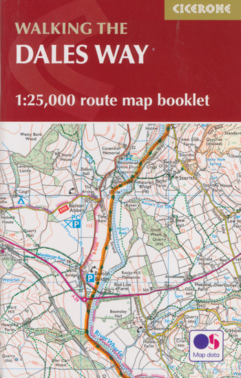
Walking the Dales Way Map Booklet Cicerone
$21.95
1 in stock
Description:
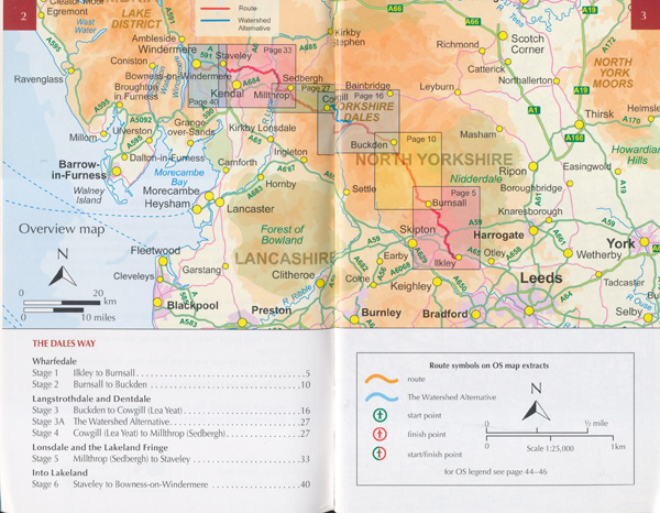
All the mapping you need to complete the Dales Way, a 79-mile long-distance route through the Yorkshire Dales, from Ilkley to Bowness-on-Windermere. NOTE: An accompanying Cicerone guidebook – The Dales Way – describes the full route with lots of other practical and historical information. The accompanying guidebook includes a copy of this map booklet. This booklet of Ordnance Survey 1:25,000 Explorer maps has been designed for convenient use on the trail. It shows the full and up-to-date line of the Dales Way, along with the relevant extract from the OS Explorer map legend. It is conveniently sized for slipping into a jacket pocket or top of a rucksack and comes in a clear PVC sleeve. The Dales Way links two of Englands most celebrated national parks, the Yorkshire Dales and the Lake District. The waymarked route showcases the regions beautiful limestone landscapes and historic towns and villages as it passes through Wharfedale, Dentdale, Lonsdale and the Lakeland fringe, accompanying rivers great and small, crossing farmland – and just a little moorland and following wandering winding lanes. Well served for accommodation and facilities, and with easy walking on riverside paths, it is one of the gentlest multi-day walks in Britain and therefore an ideal introduction to long-distance walking.
Contents Key to map pages Wharfedale Stage 1 Ilkley to Burnsall Stage 2 Burnsall to Buckden Langstrothdale and Dentdale Stage 3 Buckden to Cowgill (Lea Yeat) Stage 4 Cowgill (Lea Yeat) to Millthrop (Sedbergh) Lonsdale and the Lakeland Fringe Stage 5 Millthrop (Sedbergh) to Staveley Into Lakeland Stage 6 Staveley to Bowness-on-Windermere OS Explorer map legend
Dales Way Map Booklet
- ISBN-13: 9781786310941
- Publisher: CICERONE
Imprint: CICERONE - By Terry Marsh


