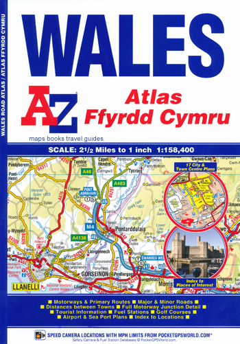
Wales Atlas A-Z Ffyrdd Cymru
Description:
This A-Z Atlas of Wales features continuous road mapping extending into England to include all major routes into the country. In addition to covering the whole of Wales the detailed road mapping also includes:
- Liverpool
- Warrington
- Nantwich
- Shrewsbury
- Hereford
- Bristol
- Severn River Crossings
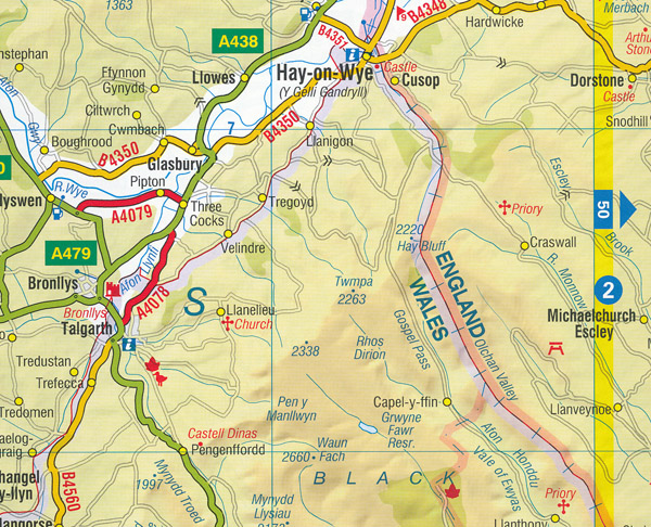
Published at a clear 2.5 miles to 1 inch the following features are shown on the road mapping:
- Motorways with full junction detail, primary routes and destinations, A & B roads, under construction and proposed roads, service areas, tolls, mileages, national, county and unitary authority boundaries.
- Selected safety camera locations with maximum speed limits
- Selected fuel stations.
- National Park boundaries for Snowdonia, Brecon Beacons and Pembrokeshire Coast
- Selected places of interest and tourist information centres.
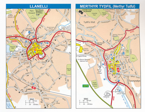
Also included are 21 city, town, airport or port plans and 2 separate indexes
- An index to cities, towns, villages, hamlets and locations.
- A places of interest (within Wales) index with corresponding map symbol alongside each entry for easy identification.
Additional product information
| ISBN: | 9781843489092 |
| Size: | 245mm x 170mm |
| Pages: | 92 pages |
| Binding: | Soft laminated cover. Perfect bound |
| Publication Date: | 2019 |
| Images (Colour or Mono) | Full Colour |
| Author and/or publisher | Geographers’ A-Z Map Co. Pty. |
Read More


