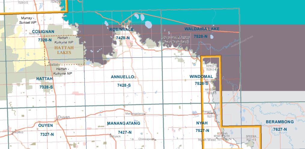
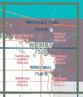
Waldaira Lake 1-50,000 Vicmap
$12.00 – $24.00
Description:
Waldaira Lake 1-50,000 scale Vicmap Topographical map 7528N is used for Walking, 4WD, Fishing, Camping, Motorcycle, both On and Off Road, Gold Prospecting and for those simply going for a family weekend drive.
Topographical maps show not only Contours of the Terrain but Walking Tracks, Sealed and Unsealed Roads, Rivers, Creeks, Lakes, Historical Points of Interest, Old Mine Sites and National and State Park areas.
Main Features of this map includes:
The meeting of the Murray and Murrumbidgee Rivers
Boundary Bend, part of Murray River Reserve, Chalmers Lagoon, Bulumpla Lagoon, Can Can Lagoon, Boggy Creek, Snake Creek, Yungera Island, Buchanans Bend 2 Camping Area, Lower Tala Bend, Cameron Bend, Upper Tala Bend, Pile Bend Camping Area, mbtg, Goose Neck Camping Area (Pile Bend), Hopcroft Camping Area, Passage Camp, part of Murrumbidgee River, Pile Bend Billabong Camping Area, Murrumbidgee Camping Area, Bidgee Junction Track, Sandbar Loop Camping Area (Nurrung). mbtg, Murrumbidgee River, Canally, Waldaira Lake, Waldaira Creek, Tualka Creek, RIVER MURRAY RESERVE, Box Creek, Prungle Mail Rest Area on the Sturt Highway
You may also like…
-
CANALLY SOUTH 1-25,000 Vicmap Topographic Map 7528-1-S
$14.00 – $26.00Select options This product has multiple variants. The options may be chosen on the product page -
Windomal 1-50,000 Vicmap
$12.00 – $24.00Select options This product has multiple variants. The options may be chosen on the product page -
Weimby 1-50,000 NSW Topographic Map
$16.95 – $31.95Select options This product has multiple variants. The options may be chosen on the product page -
Balranald 1-250,000 Topographic Map
$15.95 – $30.95Select options This product has multiple variants. The options may be chosen on the product page -
Robinvale 1-50,000 Vicmap
$12.00 – $24.00Select options This product has multiple variants. The options may be chosen on the product page -
Annuello 1-50,000 Vicmap
$12.00 – $24.00Select options This product has multiple variants. The options may be chosen on the product page -
WEIMBY SOUTH 1-25,000 Vicmap Topographic Map 7528-4-S
$14.00 – $26.00Select options This product has multiple variants. The options may be chosen on the product page


