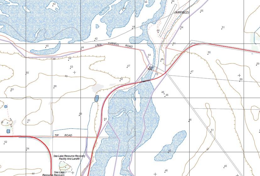
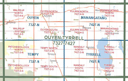
Tyrrell 1-50,000 Vicmap
$12.00 – $24.00
Description:
Tyrrell 1-50,000 scale Vicmap Topographical map 7427S is used for Walking, 4WD, Fishing, Camping, Motorcycle, both On and Off Road, Gold Prospecting and for those simply going for a family weekend drive.
Topographical maps show not only Contours of the Terrain but Walking Tracks, Sealed and Unsealed Roads, Rivers, Creeks, Lakes, Historical Points of Interest, Old Mine Sites and National and State Park areas.
Main Features of this map includes:
Tyrrell, Lake Tyrrell, Lake Wahpool (Salt), Lake Wahpool West BR, Lake Tyrrell WR, mbtg, Daytrap Corner, Bimbourie, Tyrrell Downs, Sea Lake, Ninda, Lake Tyrrell WR, Lang Plain BR, Balmers Tank BR, Long Plains, Bourka BR, mbtg, Possum Ogourie, Burupga BR, Nandaly, Pirro Channel, Kellys Tank Channel, State Gully BR, Tempy Channel, Tyenna, Pier Milan, Pier Milan Station Disused, Straten, Nyarrin, Turriff East School BR, Turriff East
You may also like…
-
Manangatang 1-50,000 Vicmap
$12.00 – $24.00Select options This product has multiple variants. The options may be chosen on the product page -
Nyah 1-50,000 Vicmap
$12.00 – $24.00Select options This product has multiple variants. The options may be chosen on the product page -
Ultima 1-50,000 Vicmap
$12.00 – $24.00Select options This product has multiple variants. The options may be chosen on the product page -
TYRRELL NORTH 1-25,000 Vicmap Topographic Map 7427-2-N
$14.00 – $26.00Select options This product has multiple variants. The options may be chosen on the product page -
NANDALY SOUTH 1-25,000 Vicmap Topographic Map 7427-3-S
$14.00 – $26.00Select options This product has multiple variants. The options may be chosen on the product page -
NANDALY NORTH 1-25,000 Vicmap Topographic Map 7427-3-N
$14.00 – $26.00Select options This product has multiple variants. The options may be chosen on the product page -
Tempy 1-50,000 Vicmap
$12.00 – $24.00Select options This product has multiple variants. The options may be chosen on the product page -
Ouyen 1-50,000 Vicmap
$12.00 – $24.00Select options This product has multiple variants. The options may be chosen on the product page -
TYRRELL SOUTH 1-25,000 Vicmap Topographic Map 7427-2-S
$14.00 – $26.00Select options This product has multiple variants. The options may be chosen on the product page


