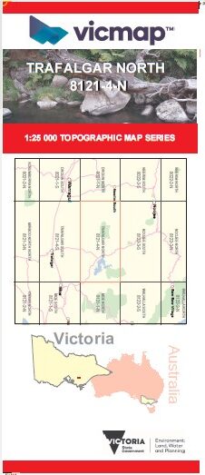
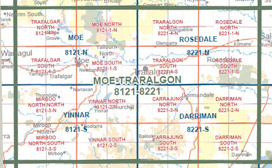
TRAFALGAR NORTH 1-25,000 Vicmap Topographic Map 8121-4-N
$14.00 – $26.00
Description:
TRAFALGAR NORTH 1-25,000 Vicmap Topographic Map 81214N NOW PRINT ON DEMAND is used for Walking, 4WD, Fishing, Camping, Motorcycle, both On and Off Road, Gold Prospecting and for those simply going for a family weekend drive.
This is a new series of 1-25,000 scale maps, all sections of Victoria are covered by these maps.
Topographical maps show not only Contours of the Terrain but Walking Tracks, Sealed and Unsealed Roads, Rivers, Creeks, Lakes, Historical Points of Interest, Old Mine Sites mbtg and National and State Park areas.
Main Features of this map includes:
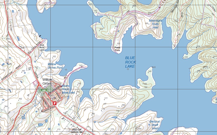
Covers the Old Series 1-25,000 Springsure Hill and the out of print Willow Grove
Willow Grove, Blue Rock Lake, Sweetwater Creek NCR, Bull Beef Creek NCR, Mount Tanjil, Springsure Hill, Neerim State Forest, Buln Buln East, Shady Creek, Rosworth, Blue Rock Mine Inlet, mbtg, Usher Inlet, Spotted Dog Inlet, Hill End And Fumina War Memorial, Buckleys Point, Pretty Creek Reference Area (no public access), Old Tanjil, TanjilRiver, The Cut, Moonlight Gully Inlet, Tanjil South, Blue Rock Dam Power Station, Cement Hills
You may also like…
-
Moe 1-50,000 Vicmap
$12.00 – $24.00Select options This product has multiple variants. The options may be chosen on the product page -
Drouin 1-50,000 Vicmap
$12.00 – $24.00Select options This product has multiple variants. The options may be chosen on the product page -
TRAFALGAR SOUTH 1-25,000 Vicmap Topographic Map 8121-4-S
$14.00 – $26.00Select options This product has multiple variants. The options may be chosen on the product page -
NOOJEE SOUTH 1-25,000 Vicmap Topographic Map 8122-3-S
$14.00 – $26.00Select options This product has multiple variants. The options may be chosen on the product page -
Walhalla Woods Point Adventure Map Rooftop
$12.95 – $25.00Select options This product has multiple variants. The options may be chosen on the product page