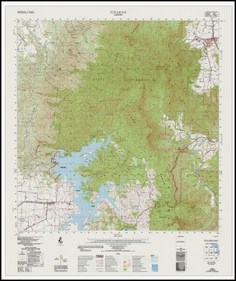
Tinaroo 1-50000 Topographic Map 8063-4 QLD
$14.95
Description:
Tinaroo 1-50,000 Topographic Map 8063-4 QLD Geoscience Australia Print on Demand 1986 Edition
Main locations on this Map
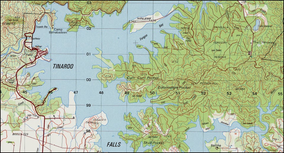
Norman Park Cairns Kairi Tinaroo Falls Adler Hill Lake Barrine Birthday Creek Black Mountain Blackrock Creek Boar Pocket Brady Creek Breach Creek Brindle Creek Cherry Creek Coi Creek Mount Coobaingalgi Cooley Hill Cullamungie Pocket Curri Curri Pocket Danbulla Dinden Downfall Creek Mount Edith Edmonton Emu Creek Euramoo Creek Lake Euramoo Fanning Flying Fox Crossing Glen Atherton Grafton Gray Creek Mount Haig Hambledon Huntsbrook Creek Isley Creek Isley Hills Juara Creek Kahlpahlim Rock Kalorama Rocks Kareel Creek Kauri Creek Kuall Creek Lamb Range Lambs Head Little Mulgrave River Lock Creek Mount Mac Machine Creek Magazine Siding Main Creek Main Range Mandarin Rock Mazlin Creek McKinnon Creek McRae Creek Mick Creek Mobo Creek Lake Newell Mount Nomico Number Five Creek Number Four Creek Number One Creek Number Three Creek Number Two Creek Ogs Brow Outlook Rock Paddy Creek Palm Gully Pandanus Creek Paterson Creek Mount Peter Peterson Creek Pilba Creek Platypus Creek Putts Mountain Python Hill Queerah Robson Creek Roos Creek Running Creek Sandy Creek Severin Creek Skull Pocket Stony Creek Surprise Creek Swamp Creek Tank Rock The Breach The Bump The Fisheries Tin Creek Tinaroo Range Lake Tinaroo Mount Tiptree Toohey Creek Townsend Gap Tungsten Gully Mount Turtle Twiddler Hill Uhr Creek Varch Creek Womberry Creek Wright Creek Wrights Creek Right Branch Yadjin Kulara Davies Creek National Park Gillies Highway Forest Reserve Little Mulgrave Forest Reserve Danbulla State Forest Danbulla National Park Danbulla National Park Recovery Danbulla Forest Reserve Danbulla State Forest 2 Bentley Park Goldsborough Little Mulgrave Barrine Mareeba Tinaroo Townshend Gap Tinaroo Falls Dam Petersen Creek Mazzlin Creek Potts Mountain
| Name: | Tinaroo |
| Publisher: | Geoscience Australia (Australian Government) |
| Scale: | 1 : 50, 000 |
| Latitude Range: | 17° 0.0′ S – 17° 15.0′ S |
| Longitude Range: | 145° 30.0′ E – 145° 45.0′ E |
| Projection / Datum: | Universal Transverse Mercator, GDA94 or WGS84 |
| Approx Print Size: | 0.56m X 0.56m |
| Publication Date: | 1-Jun-86 |
You may also like…
-
Tinaroo 1-50,000 Topographic Map QLD
$15.95 – $25.95Select options This product has multiple variants. The options may be chosen on the product page -
Bartle Frere 1-50000 Topographic Map 8063-2 QLD
$14.95 – $24.95Select options This product has multiple variants. The options may be chosen on the product page -
Mareba 1-50,000 Queensland Topographic Map
$15.95 – $30.95Select options This product has multiple variants. The options may be chosen on the product page


