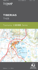
Tiberias 1-50,000 Tasmap Topographic Map
$13.95
1 in stock
Description:
Tiberias 1-50,000 Tasmap Topographic Map
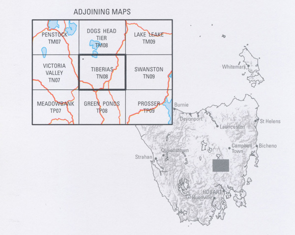
A characteristic of the area covered by the map is its history. The townships of Bothwell and Oatlands, both proclaimed in 1866, are the two main population centres and both contain many stone buildings built in that era. Large pastoral properties, up until recently dry land farms but many now irrigated, were established in the early colonial period. The south east corner of the map contains many small townships with a network of roads connecting them but the remainder is quite isolated with the land varying from open lowland to rugged forested high country.
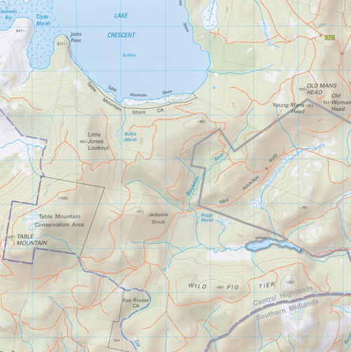
The design of the 1:50 000 Map Series provides a clear and accurate portrayal of topographic information, with symbols and map content giving enhanced depiction of buildings, hill shading and a simplified classification of vegetation
| Edition: | 1 | |
| Production Year: | 2016 | |
| Datum: | Geocentric Datum of Australia 1994 (GDA94) | |
| Scale: | 1:50000 | |
| ISBN 9318923027891
|
||


