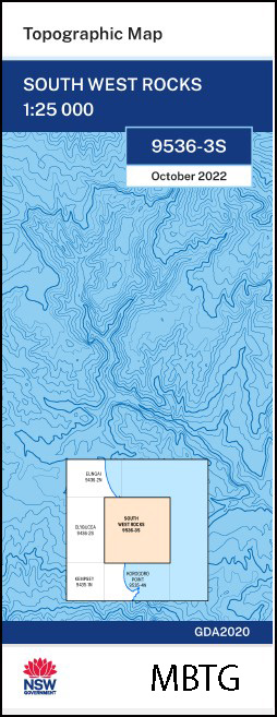
South West Rocks 1-25,000 NSW Topographic Map
$16.95 – $28.95
Description:
South West Rocks 1-25,000 NSW Topographic Map 9536-3-S Print on Demand
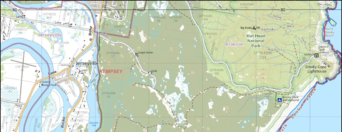
Willawong Smoky Kentucky South West Rocks Back Beach Arakoon Arakoon State Conservation Area Big Smoky Black Rocks Captain Cook Lookout Cockle Island Fish Rock Front Beach Gap Beach Green Island The Gutter Horseshoe Cove Jerseyville Jerseyville Public School Kemps Corner Coral Island Freshwater Creek Horseshoe Bay Laggers Point Little Bay Long Reach Island Little Shark Island Little Smoky Lower Kinchela Public School Muzzers Island New Entrance North Smoky Beach Pelican Island Rainbow Reach Saltwater Creek Saltwater Inlet Saltwater Lagoon Smoky Cape Smoky Cape Range Smoky Cape Lighthouse Snake Island South Smoky Beach South West Rocks Creek South West Rocks Public School Spencers Creek Trial Bay Whisky Island Clybucca Creek Cooloondurri Black Rock Longreach Island Balls Creek
| Name: | South West Rocks 95363S |
| Publisher: | New South Wales Government |
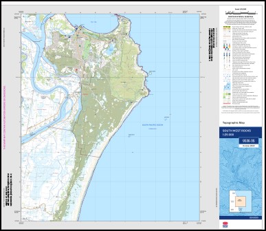
| Scale: | 1:25,000 |
| Latitude Range: | 30° 52.5′ S – 31° 0.0′ S |
| Longitude Range: | 153° 0.0′ E – 153° 15.0′ E |
| Datum: | GDA 2020
Edition 2022 |
| Approx Print Size: | 690mm X 600mm |
You may also like…
-
Korogoro Point 1-25,000 NSW Topographic Map
$16.95 – $31.95Select options This product has multiple variants. The options may be chosen on the product page -
Moonee Beach 1-25,000 NSW Topographic Map
$16.95 – $31.95Select options This product has multiple variants. The options may be chosen on the product page -
Wenonah Heads 1-25,000 NSW Topographic Map
$16.95 – $31.95Select options This product has multiple variants. The options may be chosen on the product page -
Kangaroo Valley 1-25,000 NSW Topographic Map
$16.95 – $31.95Select options This product has multiple variants. The options may be chosen on the product page