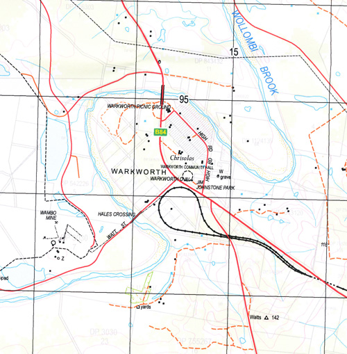
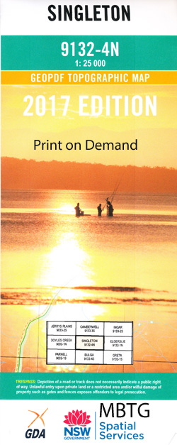
Singleton 1-25,000 NSW Topographic Map
$16.95 – $31.95
Description:
9132-4-NPrint on Demand
Archerfield Curlewis Heatherlea Recluse Wambo Estate Glengowan castle Forbes Singleton Auckland Village of Auckland Abbey Green Birnamwood Cheshunt Comleroi Conmurra Darlington Dunolly Fern Gully First Creek Gouldsville Gouldsville Public School Granbalang Hambledon Hill Howe Howe Park James Cook Park Combo Coomboo Falkners Railway Station King Street Public School Komleroi Lemington Long Point Longsford Creek Loder Longford Creek Macquarie Place Mcdougall Hill Mcdougllas Hill Maison-De-Dieu-Public School Maison Dieu Maison Dieu Crossing Maison-Dieu Crossing Maison Dieu Public School Minnimbah or Mudies Creek Mount Thorley Mount Thorley Public School Mudies Creek Obanvale Old Salty Creek Pigeon Point Redbank Creek Redbourneberry Redbournburry Redbournebury Reservoir Hill Rixs Creek Rose Point Rugby Park Sandy Hollow Creek Scotts Creek Scotts Flat Sedgefield Gully Singleton Cemetery Singleton General Cemetery Singleton Heights Singleton Heights Public School Singleton High School Singleton Post Office Singleton Public School Singleton Railway Station Singleton Showground Singleton Technical College Stone Quarry Creek Stonequarry Gully Thompson United Warkworth Warkworth Public School Village of Warkworth Washery Wattle Ponds or First Creek Watts White Falls White Falls Ford Whittingham Whittingham Public School Whittingham Railway Station Wisemans Ford Wittingham Wittingham Railway Station Wylies Flat Dights Crossing Doctors Creek Doughboy Hollow Doughboy Hollow Creek Doctors or Dights Gully Burdekin Park Minimbah Creek Apex Lookout Neotsfield Harry George Reserve Robinson Reserve Glenridding Wattle Ponds Hunterview Mcdougalls Hill Big Ridge Clydesdale Mcdougalls Reserve Patrick Plains Singleton Lioness Park Gowrie Merricks Fire Brigade Park Village Green Victoria Reserve Baileys Union Park Springdale Park Tulloch Park Ardersier Reserve Redbourneberry Reserve Redbournberry Patricks Plains Clydesdale Reserve Glenridding Reserve Warkworth Picnic Ground Col Fisher Park Earribee Park Nowlan Park Pearces Park Sedgefield Parsons Creek Wollombi Brook
| Name: | Singleton |
| Publisher: | New South Wales Government |
| Scale: | 1:25000 |
| Latitude Range: | 32° 30.0′ S – 32° 37.5′ S |
| Longitude Range: | 151° 0.0′ E – 151° 15.0′ E |
| Datum: | GDA 94 |
| Approx Print Size: | 0.56m X 1.11m |


