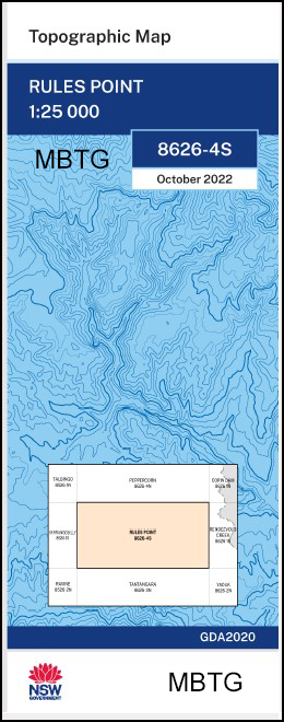
Rules Point 1-25,000 NSW Topographic Map
$16.95 – $29.95
Description:
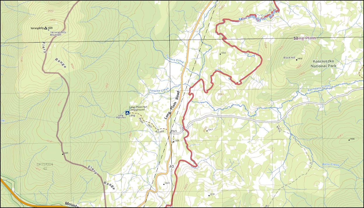
Rules Point 1-25,000 NSW Topographic Map 8626-4-S Print on Demand is used for Walking, 4WD, Fishing, Camping, Motorcycle, both On and Off Road, Gold Prospecting and for those simply going for a family weekend drive.
Topographical maps show not only Contours of the Terrain but also Walking Tracks, Sealed and Unsealed Roads, Rivers, Creeks, Lakes, Historical Point of Interest, Old Mine Sites mbtg and National and State Park areas.
Main Features of this map includes:
Parts of the Australian Alpine Walking Track AAWT, Mount Yarrangobilly and Rules Point town, Parts of the Murrumbidgee River, Bally Creek Bill Jones Camp Blue Waterholes Blue Waterhole Saddle Black Mountain Black Hill Black Eye Creek Black Eye Gully Boundary Creek Carrolls Creek Cave Creek Charlies Creek Cooinbil Hut Cooleman Caves Cooleman Plain Currango Currango Plain Dairymans Creek Dairymans Gap Dairymans Plain Deep Creek Ghost Gully Goodradigbee Aqueduct Gurrangorambla Creek Gurrangorambla Flat Hainsworth Hut Harris Hut Harrys Gap Howells Peak Cooleman Flat Ghost Creek Goodradigbee Airstrip The Gurrangorambla Plain Locket Creek Long Plain Long Plain Hut Mcphersons Creek Mill Creek Morris Creek Mosquito Creek Mufflers Creek Murray Cave Mouth of Murray Cave Nattung Mount Nattung Pattersons Creek Peak Back Range Peak Back Ridge Pig Back Ridge Pocket Creek Pocket Hut Pocket Saddle Port Phillip Gap Rules Creek Rules Point Sally Tree Creek Seventeen Flat Seventeen Flat Creek Skains Hill Skaines Mountain SMA 435 Currango Hill Sma 757 Howells Peak Spencers Hut Spicers Creek Starvation Creek Starvation Point Tantangara Tantangara Reservoir Taylors Creek Tiki Aqueduct Tom O’Rourkes Peak Whiskey Creek Whisky Gully Whites Hill Yarrangobilly Yarrangobilly Mountain Yarrangobilly River Dip Creek Yorkies Creek Doosey Gully Drina Doosey Hut Creek Doosey Hut Gully Nicole Gorge
| Scale: | 1:25,000 |
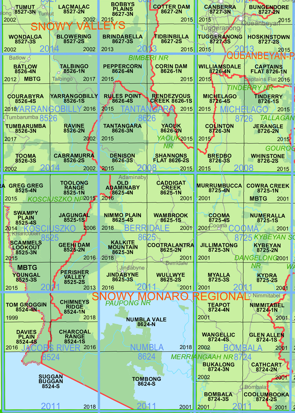
| Latitude Range: | 35 37.5 S – 35 45.0 S |
| Longitude Range: | 148 30.0 E – 148 45.0 E |
| Approx Print Size: | 0.56m X 1.11m |
| Projection: | Transverse Mercator
GDA 2020 Edition 2022 |
You may also like…
-
Australian Alpine Walking Track Map Set 1
$390.00 – $600.00Select options This product has multiple variants. The options may be chosen on the product page -
Rendezvous Creek 1-25,000 NSW Topographic Map
$16.95 – $29.95Select options This product has multiple variants. The options may be chosen on the product page -
Corin Dam 1-25,000 NSW Topographic Map
$16.95 – $29.95Select options This product has multiple variants. The options may be chosen on the product page -
Australian Alpine Walking Track Map Set 2
$425.00 – $625.00Select options This product has multiple variants. The options may be chosen on the product page


