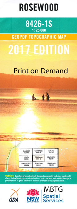
Rosewood 1-25,000 NSW Topographic Map
$16.95 – $31.95
Description:
8426-1-S Print on Demand
Locations within this Map
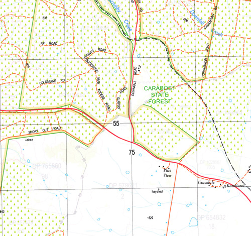
Bago Bells Creek Bobs Creek Boggy Creek Carabost Creek Courabyra Craven Ginnies Creek Glenroy Glenroy Lake Gold Hole Creek Goldspink Guises Waterholes Jonathans Creek Carabost Or Main Creek Glenroy Railway Station Jonathans Gully Killarney Hill Maginnitys Gap Mannus Creek Mate Moulamun Creek Mundaroo State Forest Pigsty Creek Pipe Clay Creek Pipeclay Gully Puddlers Creek Rosewood Rosewood Cemetery Rosewood Public School Rosewood Railway Station Village of Rosewood Schoolmasters Creek Stony Creek Supples Creek Swampy Creek Three Mile Creek Wattle Creek Wattle Gully Wolseley Park Wolseley Park Station Wood Doughtys Creek Taradale Green Hills Tumbarumba Station
| Name: | Rosewood |
| Publisher: | New South Wales Government |
| Scale: | 1:25000 |
| Latitude Range: | 35° 37.5′ S – 35° 45.0′ S |
| Longitude Range: | 147° 45.0′ E – 148° 0.0′ E |
| Datum: | GDA 94 |
| Approx Print Size: | 0.56m X 1.11m |
Read More


