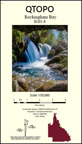
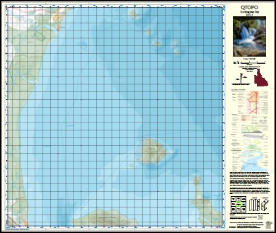
Rockingham Bay 1-50,0000 QLD Topographic Map 8161-4
$16.95 – $28.95
Description:
Rockingham Bay 1-50,0000 QLD Topographic Map 8161-4
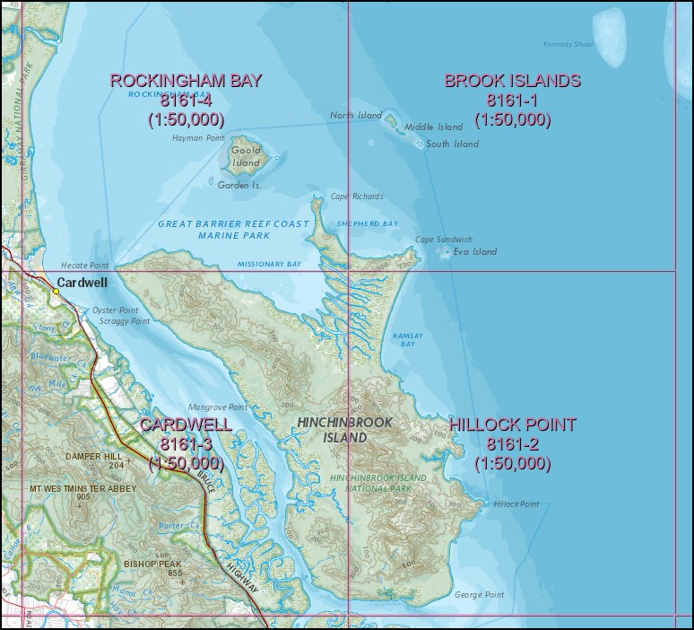
To cover entire Island you will need Hillock Point, Cardwell, Rockingham Bay and Brook Island 1-50,000 scale.
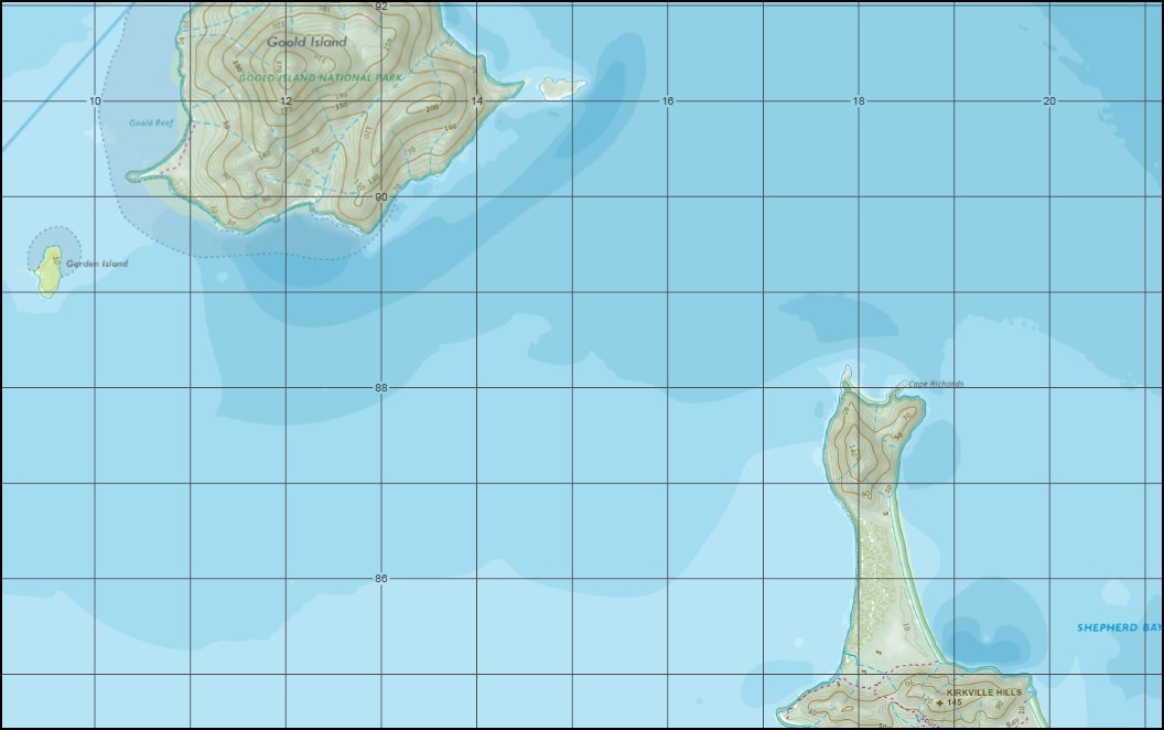
Tully Heads Bedarra Island Bowden Island Coombe Island Dallachy Creek Family Islands Garden Island Googarra Beach Goold Island Goold Island National Park Hayman Point Hecate Hecate Point Hudson Island Kirkville Hills Lily Creek Meunga Creek Missionary Bay Murray River Pee Rahm Ah Island Cape Richards Rockingham Bay Sail Rock Smith Island Smith Island National Park Tully River Wheeler Island Whitfield Creek Wreck Creek Yingalinda Beach Bedford Creek Lower Tully Hull Heads Richards Island Bedarra Toolgbar Wheeler Islet Kurrumbah Smith Islet Combe Islet Bowden Islet Budg-joo Bird Island Coolah Hudson Islet Brook Shoal Fly Point Fiy Point Elphinstone Range Ellerbeck Port Hinchinbrook Port of Hinchinbrook
| Name: | 8161-4 |
| Publisher: | Queensland Government |
| Scale: | 1:50000 |
| Latitude Range: | 18° 00.0′ S – 18° 15.0′ S |
| Longitude Range: | 146° 0.0′ E – 146° 15.0′ E |
| Projection / Datum: | Universal Transverse Mercator, GDA 94 |
| Approx Print Size: | 0.56m X 0.56m |
Read More


