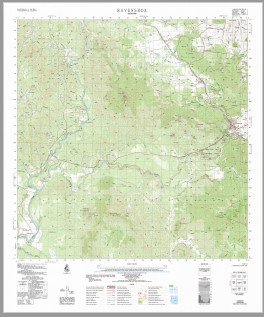
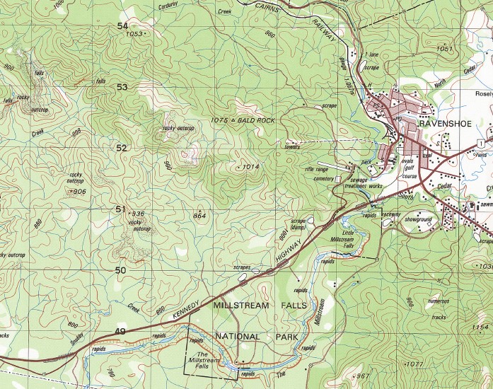
Ravenshoe 1-50000 Topographic Map 7962-1 QLD
$14.95
Description:
Print on Demand
Locations within this Map
Orange Grove Evelyn Merrymead Woodleigh Mount Ronald Mandalee Wooroora Ravenshoe Archer Creek Arthurs Seat Bally Knob Basalt Creek Batter Creek Blacksoil Creek Blair Gully Bogaduck Creek Boggy Creek Break-O-Day Creek Cedar Park Charmillin Creek Clarkes Swamp Coolabbi Creek Copper Creek Corduroy Creek Deadman Creek Diddleluma Creek Dingo Creek Dry River East Creek Evelyn Creek Generals Plain Gorge Creek Horse Swamp Kiama Creek Lawyer Creek Lead Creek Little Woolaman Creek Log Gully Marshall Creek Millstream Millstream Falls National Park Mowbray Creek North Cedar Creek Oaky Creek Pandanus Creek Mount Pandanus Pearson Creek Prairie Creek Provan Creek Quandong Creek Red Bend Robinson Creek Rocky Creek Running Creek Russian Gully Sailor Gully Sandy Creek Shady Creek Smith Creek South Cedar Creek Spring Creek Station Creek Stony Creek The Millstream The Millstream Falls Three Sisters Tumoulin Vine Creek Watsons Bend Weir Creek Whelan Creek Wild River Woolaman Creek Woomunda Evelyn Tableland Millstream Conservation Park Millstream Falls Evelyn Conservation Park The Bluff State Forest Kaban Silver Valley Turulka Tumoulin State Forest Innot Hot Springs
| Name: | Ravenshoe |
| Publisher: | Geoscience Australia (Australian Government) |
| Scale: | 1:50000 |
| Latitude Range: | 17° 30.0′ S – 17° 45.0′ S |
| Longitude Range: | 145° 15.0′ E – 145° 30.0′ E |
| Projection / Datum: | Universal Transverse Mercator, GDA94 or WGS84 |
| Approx Print Size: | 0.56m X 0.56m |
| Publication Date: | 1-Jun-86 |
You may also like…
-
Ravenshoe 1-50,000 Topographic Map QLD
$15.95 – $25.95Select options This product has multiple variants. The options may be chosen on the product page -
Atherton 1-50,000 Topographic Map 7963-2 QLD GA
$14.95 – $24.95Select options This product has multiple variants. The options may be chosen on the product page


