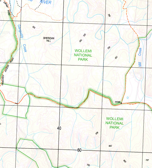
Olinda 1-25,000 NSW Topographic Map
$16.95 – $31.95
Description:
8932-3-N Print on Demand
Crow The Winton Lugan Park Little Springs Bellara Cotswood Akuna Parkthe Mount Brace Rawdon Willow Glen Kona Hidden Valley Ranch Dabee Glen-Lee Fernside Spring Gully Rambles Mollethe Hillside Kildare Roselea Falcon Olinda Eastwood Rockdale Ti-Tree Tebradden Mycumbene Beer Bung Creek The Big Hole Bogee Angle Mount Conourury Coolcalwin Mount Coolcalwin Coxs Creek Currant Creek Dairy Creek Davis Swamp Ganguddy Hanging Rock Hopping Harrys Hollow Kandos Weir Currant Mountain Swamp Dairy Swamp Davis Creek Kings Swamp Long Cave The Long Cave Never Never Never Never Creek Rams Head Mountain The Rams Head Rylstone Rylstone Dam Rylstone Kandos Cemetery Sampsons Creek Sheridan Hill Stallion Gully The Swamp Swampy Creek Swampy Flat Tailbys Gap Tawinbang The Running Water Thistle Flat Creek Tongongwel Touwouwan Mount Touwouwan Towinhingy Creek Mount Towinhingy Windmill Creek Windmill Hill Burrowoury Thistle Flat Cumber Melon Mountain Dunns Swamp Rumkers Peak Tongongwei
| Name: | Olinda |
| Publisher: | New South Wales Government |
| Scale: | 1:25000 |
| Latitude Range: | 32° 45.0′ S – 32° 52.5′ S |
| Longitude Range: | 150° 0.0′ E – 150° 15.0′ E |
| Datum: | GDA 94 |
| Approx Print Size: | 0.56m X 1.11m |


