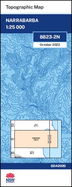
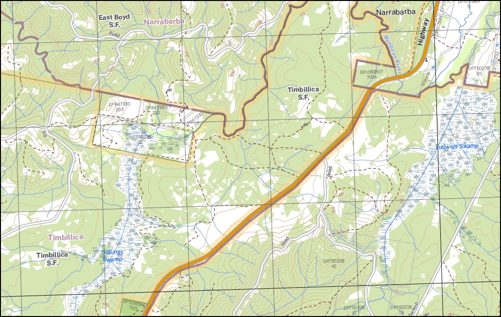
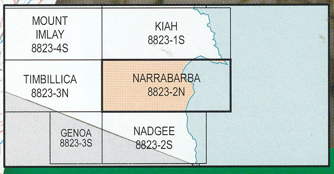
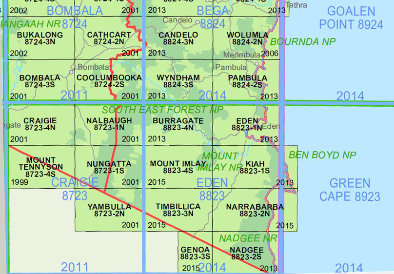
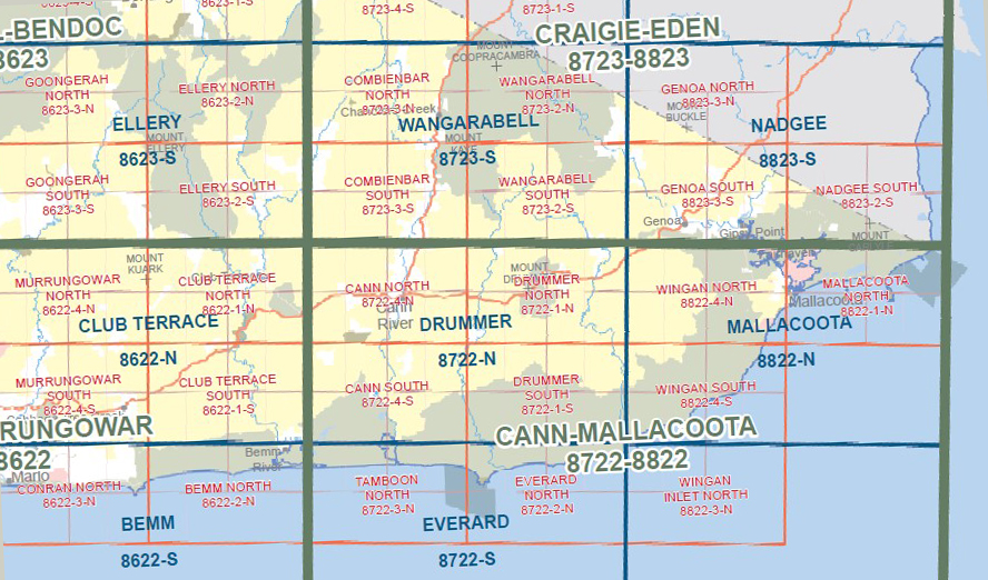
Narrabarba 1-25,000 NSW Topographic Map
$16.95 – $29.95
Description:
Narrabarba 1-25,000 NSW Topographic Map 8823-2-N Print on Demand
Part of the Wilderness Coast Walk
Also now available printed on Plastic Waterproof Paper Folded
This map includes the following localities: Bay Cliff Bruces Creek Bruces Creek State Forest Goat Creek Greenglade Gunns Gully Howe Jane Spiers Beach Coast Range Little Watergums Creek Ludwigs Creek Ludwigs Swamp Maxwell Swamp Maxwells Swamp Merrica River Mountain Gum Creek Nadgee Nature Reserve The Nadgee Nature Reserve Nadgee Range Nadgee State Forest Naghi State Forest Narrabarba Newtons Beach Sidling Creek Sidling Gully Sidlings Swamp Three Mile Creek Timbillica State Forest Tumbledown Mountain Victoria Wallagaraugh Watergums Creek Wirra Birra Creek mbtg Womboyn Wonboyn Wonboyn Beach Wonboyn Hill Dinner Gully Disaster Bay Dinner Creek Watergums Creek Flora Reserve Narrabarba Hill Sidlings Swamp Flora Reserve Narrabarba Hill Flora Reserve mbtg Nadgee Hemingway Creek
| Scale: | 1:25000 |
| Latitude Range: | 37 15.0 S – 37 22.5 S |
| Longitude Range: | 149 45.0 E – 150 00.0 E |
| Approx Print Size: | 0.56m X 1.11m |
| Projection: | Transverse Mercator
GDA 2020 Edition 2022 |
You may also like…
-
Nadgee 1-25,000 NSW Topographic Map
$16.95 – $29.95Select options This product has multiple variants. The options may be chosen on the product page -
Eden 1-25,000 NSW Topographic Map
$16.95 – $29.95Select options This product has multiple variants. The options may be chosen on the product page -
Mallacoota Merimbula Adventure Map Rooftop
$12.95 – $25.00Select options This product has multiple variants. The options may be chosen on the product page -
Nadgee 1-50,000 Vicmap
$12.00 – $24.00Select options This product has multiple variants. The options may be chosen on the product page -
Mallacoota 1-50,000 Vicmap
$12.00 – $24.00Select options This product has multiple variants. The options may be chosen on the product page -
Kiah 1-25,000 NSW Topographic Map
$16.95 – $29.95Select options This product has multiple variants. The options may be chosen on the product page -
Far South Coast Map NSW Forestry Folded and Flat
$14.00 – $26.00Select options This product has multiple variants. The options may be chosen on the product page -
Pambula 1-25,000 NSW Topographic Map
$16.95 – $29.95Select options This product has multiple variants. The options may be chosen on the product page

