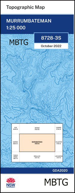
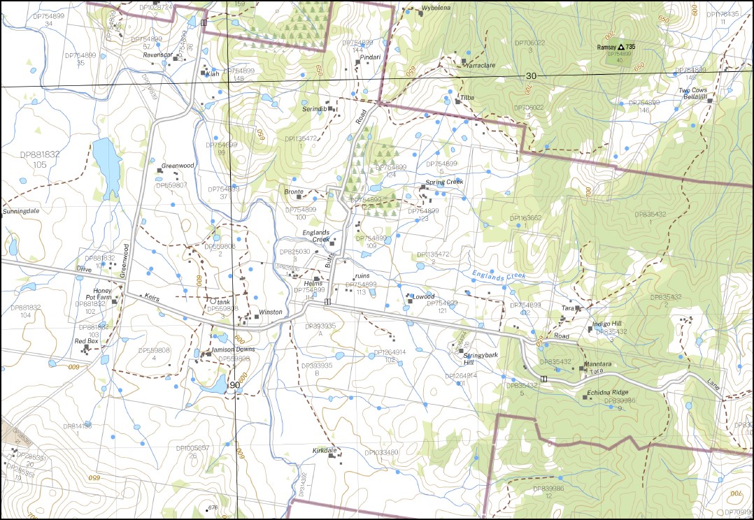
Murrumbateman 1-25,000 NSW Topographic Map
$16.95 – $28.95
Description:
Murrumbateman 1-25,000 NSW Topographic Map 8728-3-S Print on Demand
Locations within this Map
Murrumbateman Bellmount Forest Berrebangalo Bland Booths Crossing Branch of Corregans Creek Broughton or Nowlands Creek Cockatoo Corregans Creek Englands Creek Graveyard Gully Hickeys Creek Johnys Creek Mcclungs Creek Maloy Maloy Creek Misery Morumbateman Morumbateman Creek Mundoonen Nanima Nanima Hill Nowlands Creek Ramsay Rose Swan Reach Toual White Dicks Creek Mount Gounyan Berebangalo Yass River Greenfields Gundaroo Creek
| Name: | Murrumbateman |
| Publisher: | New South Wales Government |
| Scale: | 1:25000 |
| Latitude Range: | 34° 52.5′ S – 35° 0.0′ S |
| Longitude Range: | 149° 0.0′ E – 149° 15.0′ E |
| Datum: | GDA 2020 |
| Approx Print Size: | 0.56m X 1.11m |
Read More
You may also like…
-
Grabben Gullen 1-25,000 NSW Topographic Map
$16.95 – $31.95Select options This product has multiple variants. The options may be chosen on the product page -
Dalton 1-25,000 NSW Topographic Map
$16.95 – $31.95Select options This product has multiple variants. The options may be chosen on the product page -
Gurrundah 1-25,000 NSW Topographic Map
$16.95 – $31.95Select options This product has multiple variants. The options may be chosen on the product page -
Collector 1-25,000 NSW Topographic Map
$16.95 – $31.95Select options This product has multiple variants. The options may be chosen on the product page


