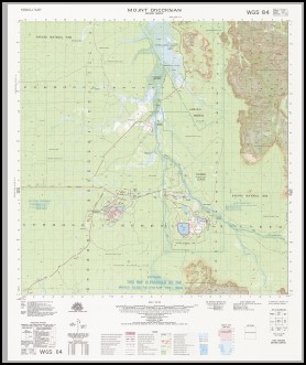
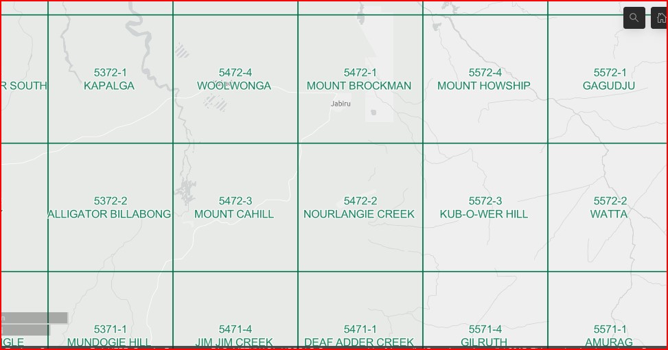
Mount Brockman 1-50000 Topographic Map 5472-1 NT
$14.95 – $26.95
Description:
Mount Brockman 1-50000 Topographic Map 5472-1 NT Print on Demand
Locations within this Map
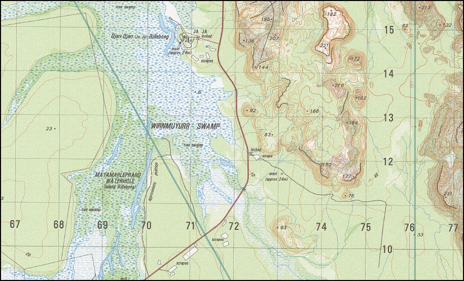
Jabiru Baralil Waterhole Barote Spring Coonjimba Billabong Corndorl Waterhole Djirrbiyak Gadjuduba Camping Area Hunters Camp Island Billabong Ja Ja Ja Ja Billabong Jabiluka Mine Jabiru Aerodrome Jabiru Area School Jabiru Court House Jabiru Fire Station Jabiru Golf Club Jabiru Health Centre Jabiru Police Station Jabiru Post Office Jabiru Pre School Kakadu National Park Headquarters Magela Manaburdurma Mayamarleprard Waterhole Mount Brockman Mudginberri Ranger Uranium Mine Town of Jabiru Magela Creek Cahills Crossing Corndori Waterhole
| Name: | Mount Brockman |
| Publisher: | Geoscience Australia (Australian Government) |
| Scale: | 1:50000 |
| Latitude Range: | 12° 30.0′ S – 12° 45.0′ S |
| Longitude Range: | 132° 45.0′ E – 133° 0.0′ E |
| Projection / Datum: | Universal Transverse Mercator, GDA94 or WGS84 |
| Approx Print Size: | 0.56m X 0.56m |
| Publication Date: | 1-Jun-97 |
Read More
You may also like…
-
Nourlangie Creek 1-50000 Topographic Map 5472-2 NT
$14.95 – $26.95Select options This product has multiple variants. The options may be chosen on the product page -
Mount Cahill 1-50000 Topographic Map 5472-3 NT
$14.95 – $26.95Select options This product has multiple variants. The options may be chosen on the product page -
Woolwonga 1-50000 Topographic Map 5472-4 NT
$14.95 – $26.95Select options This product has multiple variants. The options may be chosen on the product page


