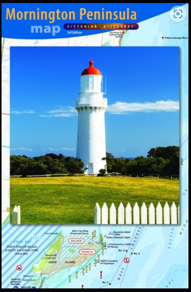
Mornington Peninsula Folded Map Meridian
$19.95
Description:
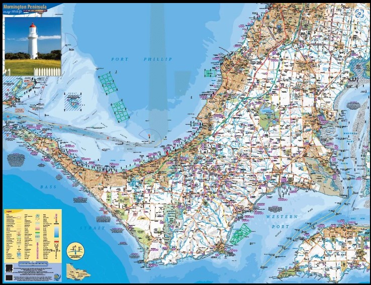
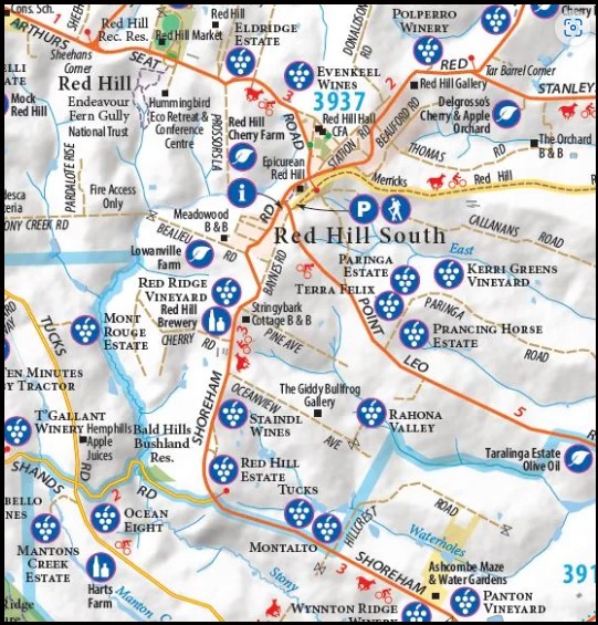
Meridian Maps Mornington Peninsula Flat and Folded Map Paper
FLAT PAPER MAP AND LAMINATED ALSO AVAILABLE
Rosebud, Dromana, Red Hill Arthurs Seat, Sorrecto, Rye, Tootagrook, Safety Beach, Cape Schank, Portsea, Flinders, Mount Martha, Mount Eliza
Features:
• Enlarged area now including western Phillip Island and North Arm of Western Port
• Postcode numbers and boundaries
Detailed relief of peninsula’s hills and valleys
• Up to date road network and subdivisions
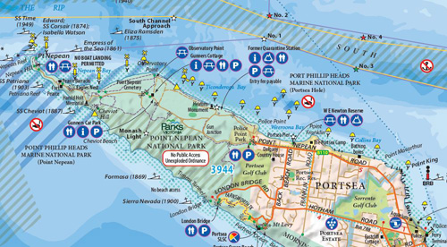
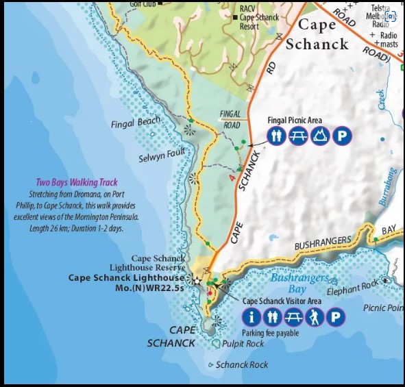
• Fully revised list of tourist attractions, wineries, and local produce farms and tables of contacts
• All Parks, Golf Courses, Recreation Reserves updates
• New symbology to identify buoys, channels and navigation aids
• Mapped at 1:50,000 for maximum detail
• Ideal for Businesses, Householders, Tour Operators, Real Estate Agents, Accommodation
• Great for promotion and display on any wall
850mm (h) x 1135mm (w) Wall Size
Folds to 270 (h) x 222 (w)
• Single sided folded map
• ISBN: 9781920958220
You may also like…
-
The Peninsula Special Bellarine and Mornington 1-50,000 Vicmap
$12.00 – $24.00Select options This product has multiple variants. The options may be chosen on the product page -
Mornington Peninsula Walks Map Meridian
$10.95 – $21.95Select options This product has multiple variants. The options may be chosen on the product page

