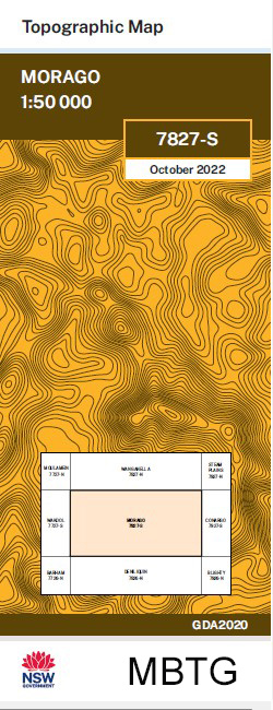
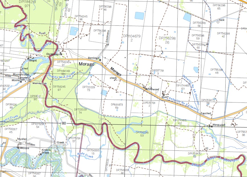
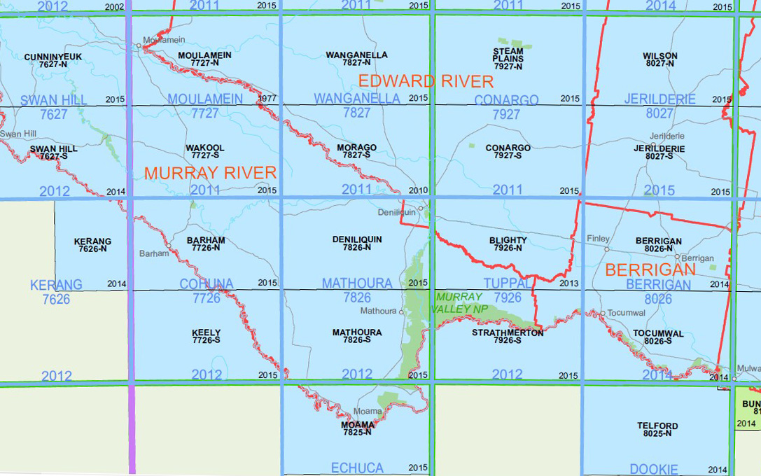
Morago 1-50,000 NSW Topographic Map
$16.95 – $28.95
Description:
Morago 1-50,000 NSW Topographic Map 7827S Now Print on Demand 2022 Edition
Locations within this Map
Back Creek Banangalite Banangalite State Forest Banangalite Tank Barratta Creek Or Lagoon Barratta Lagoon Or Creek Town of Barratta Barratta Creek Barratta Creek State Forest Black Dog Creek Boree Boree Bore Brassi Village of Brassi Calimo Camerons Weir Cockrans Creek Colimo Colligen Creek Colligen Weir Cooee Creek Cooey-Hoo Creek Cooyeo Creek Dahwilly Dahwilly Main Channel Eight Mile Dam Ess Creek Flood Creek Four Mile Dam Gwynnes Creek Horseshoe Lagoon Jacksons Weir Kangaroo Creek Kerranakoon Calimo Station Cockrane Creek Cockran Creek Cockran’s Creek Collingen Creekweir Cooey Hoo Creek Town of Darwilly Deep Creek Viii Mile Dam Estuary Creek 4 Mile Dam Iv Mile Dam Jackson Dam Kieta Creek Lagoon Dam Little Niemur River Main Canal Marago Tank Mary Kelly Creek Middle Creek The Middle Creek Monimail Moonacullah Moonacullah Cemetery Moonahcullah Moonahcullah Cemetery Moonahcullah Public School Morago Morago State Forest Morago Tank Mortimers Dam Mortimers Weir Mutton Gut Lagoon The Mutton Gut Niemur Anabranch Old Morago Peremegig Sand Hill Pretty Pine Pretty Pine Recreation Reserve Stevens Weir 3 Miles Toke Creek Tumudgery Tumudgery Creek Union Dam Wakool Main Canal MBTG Wakool River Syphon Wakool Weir Wandi Creek Werai Werai State Forest Woonox Yallakool Yallakool Creek Yallakool Creek Weir Yallakool Escape Yallakool Weir Mulwala No 22 Channel Stud Park Clarkes Creek Claverley IV Mile Dam Baratta VIII Mile Dam Box Creek Redbank Union Creek Collingen Creek Weir Royston
| Name: | Morago |
| Publisher: | New South Wales Government |
| Scale: | 1:50,000 |
| Latitude Range: | 35° 15.0′ S – 35° 30.0′ S |
| Longitude Range: | 144° 30.0′ E – 145° 0.0′ E |
| Datum: | GDA 2020 |
| Approx Print Size: | 0.56m X 1.11m |


