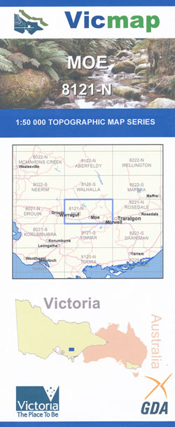
Moe 1-50,000 Vicmap
$12.00 – $24.00
Description:
Moe 1-50,000 scale Victorian Topographical map 8121N is used for Walking, 4WD, Fishing, Camping, Motorcycle, both On and Off Road, Gold Prospecting and for those simply going for a family weekend drive.
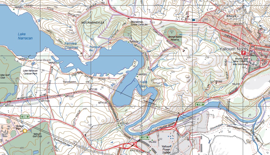
Topographical maps show not only Contours of the Terrain but Walking Tracks, Sealed and Unsealed Roads, Rivers, Creeks, Lakes, Historical Point of Interest, Old Mine Sites mbtg and both National and State Park areas.
Main Features of this map includes:
Moe, Morwell, Trafalgar, Yarragon, Darum towns, Yallourn North, Blue Rock Lake, Southern Part of Moondarra State Park
Tanjil South, Tanjil River, Tanjil State Forest, MOUNT TANJIL, Moondarra, Moondarra State Park, Moondarra Reservoir, MOUNT CARMEL, MOONDARRA S.P. (ANDERSONS CREEK HEADWATERS), Thalloo, Tyers Bridge Day Visitor Area, Erica State Forest, Watson, mbtg, Gould, TYERS PARK, Connan Park Scout Camp, WIRILDA WALKING TRACK, Conference Corner, Jacob Creek, Thompson River, Boola Boola State Forest, Rintoul Creek, Tenaty Bridge, Scorse Bridge, mbtg, Yallourn North, Newborough, Coalville, Witts Gully Reservoir, Yallourn Open Cut Coal Mine, Lake Narracan, WOORABINDA Enviromental Area, Lake Narracan Caravan Park, Narracan State Forest, Tyers, Tyers Prk, Maryvale Paper Mill, Morwell North, LATROBE REGIONAL AIRPORT (AIRFIELD)
Willow Grove, Blue Rock Lake, Sweetwater Creek NCR, Bull Beef Creek NCR, Mount Tanjil, Springsure Hill, Neerim State Forest, Buln Buln East, Shady Creek, Rosworth, Blue Rock Mine Inlet, mbtg, Usher Inlet, Spotted Dog Inlet, Hill End And Fumina War Memorial, Buckleys Point, Pretty Creek Reference Area (no public access), Old Tanjil, TanjilRiver, The Cut, Moonlight Gully Inlet, Tanjil South, Blue Rock Dam Power Station, Cement Hills, mbtg,
Fonterra Milk Processing Plant, Dead Mans Gully Grave, Darnum Cloverlea And District War Memorial, Cloverlea, Yarragon South, KERRIE BRAE, Yalungah, Trafalgar West, Trafalgar South, Trafalgar East, Carlo Catani And Moe Swamp Settlers Memorial, T K Shanahan Memorial Lookout, Westbury, Western edge of Moe, Old Gippstown Historic Park, Moe South
You may also like…
-
Walhalla 1-50,000 Vicmap
$12.00 – $24.00Select options This product has multiple variants. The options may be chosen on the product page -
Neerim 1-50,000 Vicmap
$12.00 – $26.00Select options This product has multiple variants. The options may be chosen on the product page -
Rosedale 1-50,000 Vicmap
$12.00 – $24.00Select options This product has multiple variants. The options may be chosen on the product page -
TRAFALGAR SOUTH 1-25,000 Vicmap Topographic Map 8121-4-S
$14.00 – $26.00Select options This product has multiple variants. The options may be chosen on the product page -
Yinnar 1-50,000 Vicmap
$12.00 – $24.00Select options This product has multiple variants. The options may be chosen on the product page -
Drouin 1-50,000 Vicmap
$12.00 – $24.00Select options This product has multiple variants. The options may be chosen on the product page -
Walhalla Woods Point Adventure Map Rooftop
$12.95 – $25.00Select options This product has multiple variants. The options may be chosen on the product page -
MOE NORTH 1-25,000 Vicmap Topographic Map 8121-1-N
$14.00 – $26.00Select options This product has multiple variants. The options may be chosen on the product page -
Maffra 1-50,000 Vicmap
$12.00 – $24.00Select options This product has multiple variants. The options may be chosen on the product page -
MOE SOUTH 1-25,000 Vicmap Topographic Map 8121-1-S
$14.00 – $26.00Select options This product has multiple variants. The options may be chosen on the product page -
TRAFALGAR NORTH 1-25,000 Vicmap Topographic Map 8121-4-N
$14.00 – $26.00Select options This product has multiple variants. The options may be chosen on the product page


