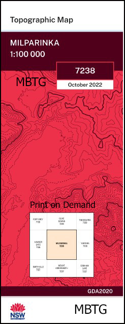
Milparinka 1-100,000 NSW Topographic Map
$16.95 – $28.95
Description:
Milparinka 1-100,000 NSW Topographic Map 7238 Now Print on Demand
Main features on this Map
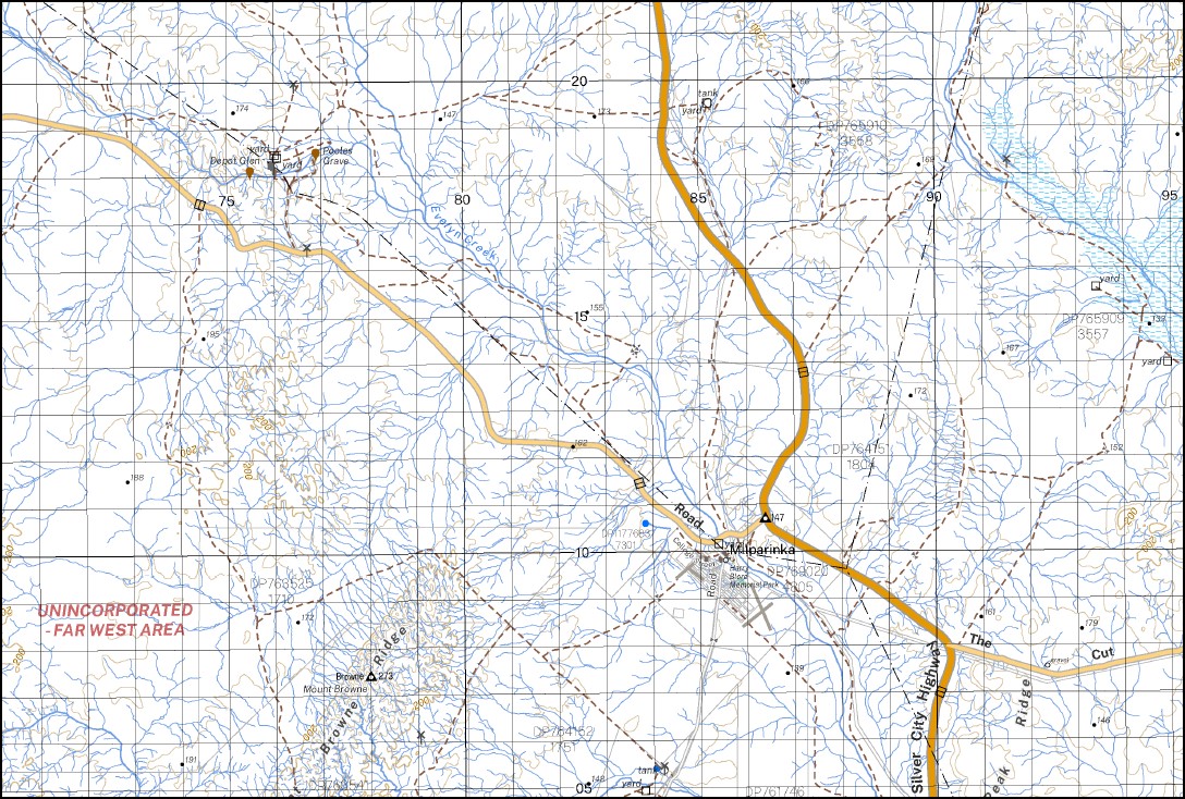
Milparinka, Mount Sturt Mount Poole Yandaminta Mount Browne Peak Hill Millring Mount Shannon South Mount Browne Bald Hill Bendigo Creek Brown Browne Mount Brown Depot Glen Gorge Creek Gorge Waterhole Grey Range Gum Creek Canilla or Mount Brown Creek Cannela Creek Little Bendigo Creek Millring Tank Milparinka Milparinka Well Mount Browne Creek Mount Brown Range Mount Browne Ridge Mount Browne Well Mount Brown Well Mount Poole Creek Mount Wood Mount Wood Range Nuggets Creek One Mile Peak Ridge The Peak Peak mbtg Well Piesse Creek Poole Preservation Creek Shannon Stringers Creek Mount Stuart The Four Mile The Ten Mile Turpentine Creek Warratta Tank White Lady White Lady Rock Wood Range Yandaminta Creek Yango Creek Milparinka Dam Coally Mount Blackwood Orr Rocky Glen Lang Warratta Milring Sturt Mount Sturt Station Mount Poole Station
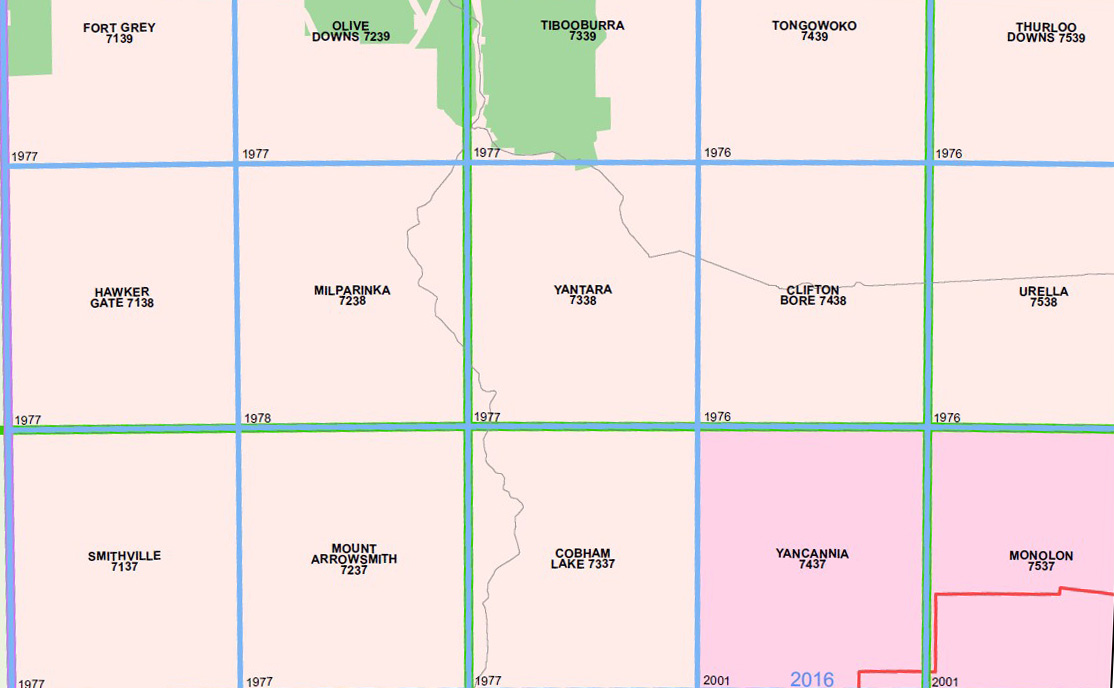
| Name: | Milparinka 7238 |
| Publisher: | New South Wales Government |
| Scale: | 1:100,000 |
| Latitude Range: | 29° 30.0′ S – 30° 0.0′ S |
| Longitude Range: | 141° 30.0′ E – 142° 0.0′ E |
| Datum: | GDA 2020 Edition 2022 |
| Approx Print Size: | 0.56m X 0.56m |
Read More


