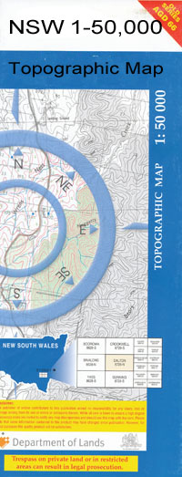
Mildura 1-50,000 NSW Topographic Map
$16.95 – $31.95
Description:
Mildura 7329n 1-50,000 scale NSW Topographical map is used for Walking, 4WD, Fishing, Camping, Motorcycle, both On and Off Road, Gold Prospecting and for those simply going for a family weekend drive.
Topographical maps show not only Contours of the Terrain but also Walking Tracks, Sealed and Unsealed Roads, Rivers, Creeks, Lakes, Historical Point of Interest, Old Mine Sites and National and State Park areas.
 We can Now LAMINATE and fold your map for $12.00. Just click on the image and add to the Trolley
NOW AVAILABLE PRINT ON DEMAND
Locations within this Map
The Cottage Buronga Cabarita Dareton Gol Gol Irymple Merbein Mildura Barnfield Bensons Bend Boeil Boeil Creekk Boeil Lagoon Boeill Creek Boeill Lagoon Boundary Tank Box Tank Box Waterhole Bruce Bend Bruces Bend Chaffey Bend Charcoal Bend Coomealla Coomealla High School Cowana Bend Dareton Oval Dareton Public School Fletchers Lake Gol Gol Bend Gol Gol Cemetery Gol Gol Creek Lake Gol Gol Gol Gol Public School Gol Gol Swamp Halfway Rocks Holland Lake Horseshoe Bend Johnsons Bend Chaffeys Bend Cowanna Bend Fletcher Lake Johnson Bend Johnstons Bend Lock 11 Lock Island Lookout Cliffs Mallee Cliffs National Park Moontongue Creek Mourgoung Mourquong Pinkie Bend Psyche Bend Ranfurly Bend Shillidays Sandbar Slaughteryard Reach Sturt Park Tail Tank Tapio Tapio Park The Willows Todds Tank Town of Gol Gol Trentham Cliffs Village of Buronga Wilkinson Park Willows Bend Buronga Park Buronga Public School Butler Bend Butlers Bend Belar Brewang Cliffs Millie Matong Thitto Gol Gol North Creek Mildura East Base Mildura West Base Port of Mildura 19th Street Basin No. 1 Basin No. 2 Bildstien Park Blandowski Walk Bob Corbould Wetland Capagreco Winery Capogreco Winery Slaughter Yard Bend Chaffey Landing Reserve Mildura Technical School Mildura Bridge Henderson Park Irymple Fire Station Irymple Post Office Irymple Primary School Irymple Technical School Irymple Telephone Exchange Kings Billabong Lake Hawthorn Lake Ranfurly Lambert Swamp Lock No.11 Maroxoms Park Merbein Fire Station Merbein Police Station Merbein Post Office Merbein Primary School Merbein Secondary College Merbein South Merbein South Primary School Merbein West Primary School Mildura Airport Mildura Base Hospital Mildura Central Primary School Mildura Fire Station Mildura Golf Course Mildura Magistrates Court Mildura Police Station Mildura Post Office Mildura Primary School Mildura Senior College Mildura South Post Office Mildura South Primary School Mildura Specialist School Mildura Telephone Exchange Mildura West Primary School Mildura Wharf Mildura Winery Nichols Point Primary School Nichols Point Public Hall Ornamental Lakes Park Ranfurly Primary School Ria Vista Park Riverside Golf Course Sandalong Park Racecourse Sandilong Park Race Track Southern Channel Sturt Highway The Lake Primary School Victorian P-12 College of Koorie Education Mildu Wintersun Yelta Gol Gol Lake Lock Eleven Merbein West
| Publisher: | New South Wales Government |
| Scale: | 1:50000 |
| Latitude Range: | 34° 0.0′ S – 34° 15.0′ S |
| Longitude Range: | 142° 0.0′ E – 142° 30.0′ E |
| Datum: | GDA 94 |

