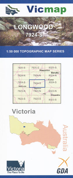
Longwood 1-50,000 Vicmap
$12.00 – $24.00
Description:
Longford 1-50,000 scale Victorian Topographical map 7924S is used for Walking, 4WD, Fishing, Camping, Motorcycle, both On and Off Road, Gold Prospecting and for those simply going for a family weekend drive.
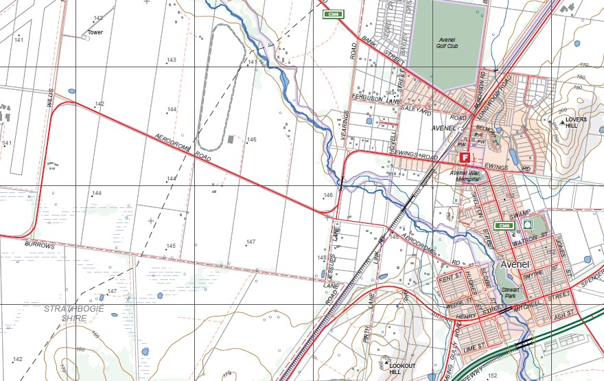
Topographical maps show not only Contours of the Terrain but Walking Tracks, Sealed and Unsealed Roads, Rivers, Creeks, Lakes, Historical Point of Interest, Old Mine Sites mbtg and both National and State Park areas.
Main Features of this map includes:
Longwood, LOCKSLEY, MONEA NORTH BR, MOUNT TENNERIFFE, Old Longwood, East Longwood, LONGWOOD (MAYGARS HILL) (AIRFIELD), Little Branjee Creek, CREIGHTON Hills, Nine Mile Creek Reservoir, mbtg, Tarcombe. MOUNT BERNARD, Larkman Gully, Mount Rose, mbtg, HUGHES CREEK FR, LORENZ HILL, CROTTY KNOB, DOLLY BRAE, KONG MENG HILL, WICKET Hill, UPTON Hill, Ponkeen Creek, MOUNT ANNE, MOUNT MONICA, WALLABY GULLY (UPTON HILL) FR, Bishops mitre rock, GOOD MORNING HILL, RUFFY BR, CANTYS ROCK
Nagambie, Mitchellstown, Lake Nagambie, Redcastle – Greytown State Forest, Wirrate, HEATHCOTEGRAYTOWN National Park, PUCKAPUNYAL COMMONWEALTH AREA, PUCKAPUNYAL MILITARY AREA, Goulburn River, PERRY HILL, NAGAMBIE WIRRATE (AIRFIELD), BAILIESTON Historic Area, Wattle Vale, Thomas Mitchell Monument, HUGHES CREEK HILL BR, TABILK LAGOON WR, Morsons Island, Nagambie Lakes Leisure Park, Heaths Island, Goulburn Weir Backwater, Halliwells Island, Turners Island, Baxters Island, Lobbs Island, Teddy Bear Island, Nagambie Caravan Park, HUGHES CREEK Hill, Tabilk, WORMANGAL Creek BR, MBTG, MANGALORE, Northwood, Avenel, WHITHAM RIDGE, MURDOCH HILL, TIPP TOR, ARTILLERY Hill, CLOWE Hill, TEHAN Hill, MOUSE 1 and 2, Fraser Ridge, KINCHELLA Hills, mbtg, BALD CONE, AUSTIN Hill, WARFE Hill, Goodwin Hill, Puckapunyal, MOUNT CERTAINTY, PUCKAPUNYAL COMMONWEALTH AREA, Larkin Hills, BRYANT Hill, SPECTATORS Hill, HASSETT Hill, Graham Hill, Lyon Hill, Tobin Hill, PUCKAPUNYAL (AIRFIELD), Goulburn River, Mangalore West, MANGALORE AERODROME (AIRFIELD), MANGALORE MILITARY AREA, Guild Hill, MOUNT ALEXINA, KOBYBOYN RANGES
You may also like…
-
NAGAMBIE NORTH 1-25,000 Vicmap Topographic Map 7924-3-N
$14.00 – $26.00Select options This product has multiple variants. The options may be chosen on the product page -
Benalla 1-50,000 Vicmap
$12.00 – $24.00Select options This product has multiple variants. The options may be chosen on the product page -
Arcadia 1-50,000 Vicmap
$12.00 – $24.00Select options This product has multiple variants. The options may be chosen on the product page -
Tallangalook 1-50,000 Vicmap
$12.00 – $24.00Select options This product has multiple variants. The options may be chosen on the product page -
NAGAMBIE EUROA 1-100,000 Vicmap 7924-8024
$14.00 – $26.00Select options This product has multiple variants. The options may be chosen on the product page -
Yea 1-50,000 Vicmap
$12.00 – $24.00Select options This product has multiple variants. The options may be chosen on the product page -
Bendigo 1-250,000 Topographic Map
$15.95 – $30.95Select options This product has multiple variants. The options may be chosen on the product page -
NAGAMBIE SOUTH 1-25,000 Vicmap Topographic Map 7924-3-S
$14.00 – $26.00Select options This product has multiple variants. The options may be chosen on the product page -
Costerfield 1-50,000 Vicmap
$12.00 – $24.00Select options This product has multiple variants. The options may be chosen on the product page


