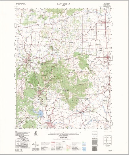
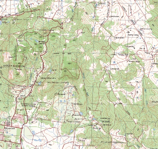
Lancefield 1-50000 Topographic Map 7823-3 VICTORIA 1979 Edition
$14.95
Description:
Lancefield 1-50,000 Topographic Map 78233 VICTORIA 1979 Edition Print on Demand
Locations within this Map
Woodlands Rumbalara Wallacoo Rosemount Coonardoo Hathersage Debhel Park Glen Arrochar Newlands Chartwell Landscape Thornton Park Nardoo Carra Koorta Drumkeen Villa Hollyburton Park Warrawee Oakfield Gisborne Lancefield Macedon Mount Macedon Riddells Creek Romsey Woodend New Gisborne Australian Counter Disaster College Bakers Bridge Barringo Creek Barringo Wildlife Reserve Black Hill Bridge Black Range Bodkins Bridge Bolinda Bridge Bolinda Primary School Bolinda Telephone Exchange Bollinda Creek Braemar College Brocks Monument Bullengarook Bullengarook Primary School The Camels Hump Carlsruhe Primary School Charlies Creek Chomleys Bridge Clarkefield Cobaw State Forest Dixon Field Dry Creek Duckhole Creek Falls Creek Fawkner Hill Frank Mann Reservoir Frosts Bridge Garden Hut Creek Gisborne Police Station Gisborne Primary School Gisborne Secondary College Golf Course Hill Mount Diogenes Hesket Hesket Primary School Howey Creek Saltwater River Western Branch Jacksons Creek Bridge John D Clifford Memorial Reserve Kerrie Kerrie Primary School Kitty English Reservoir Lancefield No. 1 Reservoir Lancefield No. 2 Reservoir Lancefield Police Station Lancefield Primary School Linehans Bridge Long Gully Creek Longview Creek Macedon Police Station Macedon Primary School Macedon Ranges Shire Magnet Hill Main Creek McDonalds Reservoir Melbourne Hill Middle Gully Reserve Monument Bridge Monument Creek Mount Charlie Mount Kerrie Mount Macedon Primary School Mount Robertson Mount Teneriffe Mount Towrong Mullalys Bridge Musteys Bridge New Gisborne Primary School Newell Reserve Newham Newham Primary School Ochiltree Hill Pierce Reservoir Pipers Creek Primary School Riddell Airfield Wooling Creek Riddells Creek Police Station Riddells Creek Primary School Rochford Rocky Hill Romsey Police Station Romsey Primary School Romsey Reservoir Rosslynne Reservoir Rowallen Scout Camp Ruby McKenzie Park Sanatorium Lake Sandy Creek Slaty Creek Smokers Creek Stanley Park The Jim Jim Turitable Creek Twin Bridges Western Hill White Bridge Willimigongon Creek Willimigongon Reservoir Woiworung Creek Woodend Police Station Woodend Primary School Wurundjeri Creek Pipers Creek Cobaw Old Harbour Reach Carlsruhe Lance Field North Monegeeta Station Monegeetta North Upper Macedon Monegeeta Monegeetta Monegeetta Station Bolinda Gisborne Station Riddell Gisborne Creek Clarkfield Station
| Name: | Lancefield |
| Publisher: | Geoscience Australia (Australian Government) |
| Scale: | 1:50000 |
| Latitude Range: | 37° 15.0′ S – 37° 30.0′ S |
| Longitude Range: | 144° 30.0′ E – 144° 45.0′ E |
| Projection / Datum: | Universal Transverse Mercator, GDA94 or WGS84 |
| Approx Print Size: | 0.56m X 0.56m |
| Publication Date: | 1-Jun-79 |
You may also like…
-
Castlemaine Woodend 1-100,000 Vicmap Topographic Map 7723 7823
$12.00 – $24.00Select options This product has multiple variants. The options may be chosen on the product page -
LANCEFIELD SOUTH 1-25,000 Vicmap Topographic Map 7823-3-S
$14.00 – $26.00Select options This product has multiple variants. The options may be chosen on the product page -
Kilmore 1-50,000 Vicmap
$12.00 – $24.00Select options This product has multiple variants. The options may be chosen on the product page -
LANCEFIELD NORTH 1-25,000 Vicmap Topographic Map 7823-3-N
$14.00 – $26.00Select options This product has multiple variants. The options may be chosen on the product page


