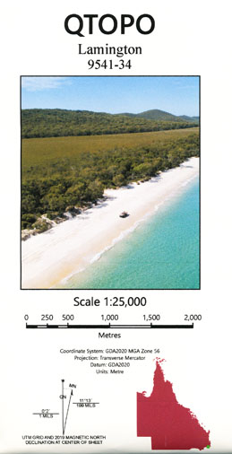
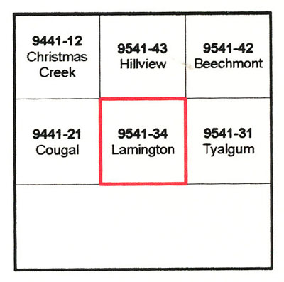
Lamington 1-25,000 Queensland Topographic Map
$16.95 – $28.95
Description:
Lamington 1-25,000 Queensland Topographic Map 954134 Print on Demand
Locations within this Map
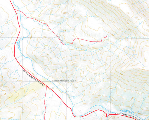
Cedar Glen Border Ranges National Park Mount Hutley Hutley Range Isakeson Ridge Macdonald Ridge Mcpherson Range Mann Spur Point Lookout Tweed Valley Lookout Mount Nungulba Buchanans Fort Christmas Creek North Branch Christmas Creek South Branch England Creek Ferntree Gap Creek Lamington Falls Lamington Glen Lamington Plateau Larapinta Falls Little Widgee Mountain McPherson Range Neglected Mountain Nungulba Mount Razorback Running Creek North Branch Running Creek South Branch Waterfall Creek Mount Westray Mount Widgee Lamington Mount Gipps Bujera
| Name: | 9541-34 |
| Publisher: | Queensland Government |
| Scale: | 1:25000 |
| Latitude Range: | 28° 15.0′ S – 28° 22.5′ S |
| Longitude Range: | 153° 0.0′ E – 153° 7.5′ E |
| Projection / Datum: | Universal Transverse Mercator, GDA 94 |
Read More
You may also like…
-
Beechmont 1-25,000 Queensland Topographic Map
$16.95 – $31.95Select options This product has multiple variants. The options may be chosen on the product page -
Lamington 1-50,000 Book and Topographic Map Set
$58.00 – $88.00Select options This product has multiple variants. The options may be chosen on the product page -
Tyalgum 1-25,000 NSW Topographic Map
$16.95 – $31.95Select options This product has multiple variants. The options may be chosen on the product page -
Lamington National Park 1-25,000 3 Map Set
$45.00 – $60.00Select options This product has multiple variants. The options may be chosen on the product page


