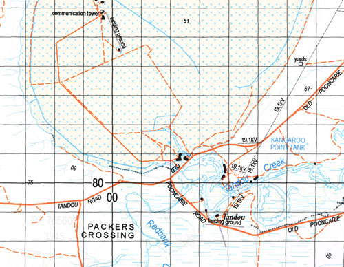
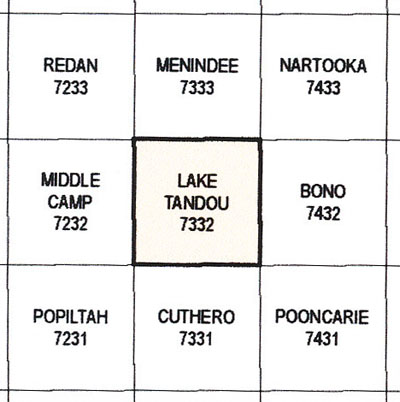
Lake Tandou 1-100,000 NSW Topographical
$16.95 – $31.95
Description:
Print on Demand
Locations within this Map
Wanda Bono Keiara Tandou Bindara Mulla Culla Tolarno Willaba Willotia Karoola Tor Downs Harcourt Wycot Lake Are Anabranch of River Darling Basin Lake Bobs Lake Lake Bintullia Bintallia Lake Cawndilla Channel Chapel Hut Crossing Collins Lake Coonalhugga Creek Cuthero Creek Great Darling Anabranch Kangaroo Lake Coonalhugga Ana Branch Great Ana Branch/Great Ana Branch of Darling River Tandou Lake Long Lake Merley Cooley Point Molly Browns Creek Murley Cooley Point New Lake The Nob Packers Crossing Packers Lake Paradise Lake Redbank Creek Redbank Lake Scrub Well Swamp Shadbolts Lake Stuart Town Public School Tandou Creek Lake Tandou The Basin Travellers Lake Warricks Crossing Yampoola Creek Yampoola Lagoon Yampoola Waterhole Ana Branch of The River Bundulla Lake Bundacoola Lake Merley Cootey Point Undeathi Bintullia Kinchega Mitta Naloira Nettlegoe Pinnelco Barritt Tartna Bingalong Ellerslie Power Whurlie Coonalhugga Mooley Stephens Creek Hut Tank Dunbar Tank Kelara Bintullia Lake Netley Chapel Bore Burnt Gunyah Tank Box Valley Tank Tartna Point Oakley Tank Wycot Tank New House New House Station
Part of the Darling River
| Name: | Lake Tandou |
| Publisher: | New South Wales Government |
| Scale: | 1:100000 |
| Latitude Range: | 32° 30.0′ S – 33° 00.0′ S |
| Longitude Range: | 142° 0.0′ E – 142° 30.0′ E |
| Datum: | GDA 94 |


