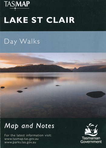
Lake St Clair Daywalk Map Tasmap
$8.95 – $18.95
Description:
Lake St Clair Daywalk Map Tasmap
Cradle Mountain-Lake St Clair National Park encompasses a wide range of rugged mountain scenery, glacial tarns, forest and alpine moorlands. At 167m Lake St Clair is the deepest lake in Australia.
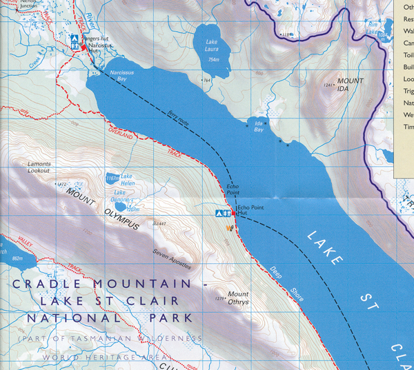
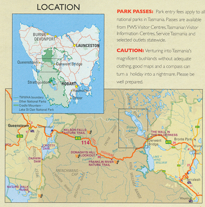
This map highlights the walking tracks and features tourist information along with general topographic detail. The notes on the reverse side contain information on the walking tracks around the lake and nearby mountains, bushwalking tips and safety essentials.
| Production Year: | 2016 |
| Datum: | Geocentric Datum of Australia 1994 (GDA94) |
| Scale: | 1:1:50000 |
ISBN: 9318923008128
Read More
You may also like…
-
Walls of Jerusalem National Park Map Tasmap
$14.95 – $26.95Select options This product has multiple variants. The options may be chosen on the product page -
Bruny Island Walks Map Tasmap
$13.95 – $25.95Select options This product has multiple variants. The options may be chosen on the product page -
Frenchmans Cap Walk Map Tasmap
$8.95 – $18.95Select options This product has multiple variants. The options may be chosen on the product page -
Hartz Mountains National Park Map Tasmap
$12.95 – $24.95Select options This product has multiple variants. The options may be chosen on the product page -
Highland Lakes Tasmap
$13.95 – $24.95Select options This product has multiple variants. The options may be chosen on the product page


