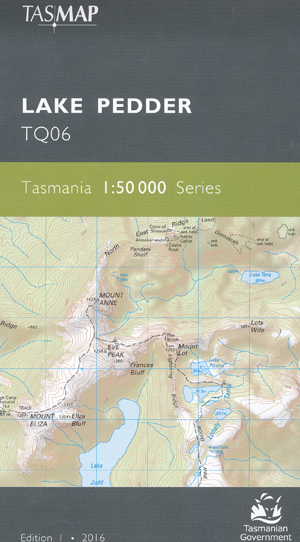
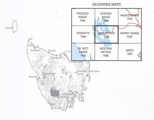
Lake Pedder 1-50,000 Tasmap Topographic Map
$13.95 – $25.95
Description:
Lake Pedder 1-50,000 Tasmap Topographic Map
The design of the 1:50 000 Map Series provides a clear and accurate portrayal of topographic information, with symbols and map content giving enhanced depiction of buildings, hill shading and a simplified classification of vegetation.
The map covers the southern half of Lake Gordon and most of Lake Pedder, which are Tasmania’s largest artificial freshwater lakes and feed the hydro-electric Gordon Power Station. Lake Pedder is accessible for trout fishing, kayaking and swimming. Most of the map area falls in Southwest National Park which is part of the Tasmanian Wilderness World Heritage Area. Located in the west, the village of Strathgordon is set deep in the southwest wilderness on the shore of Lake Pedder. Mount Anne dominates the area, being the highest mountain in the southwest. The demanding high alpine circuit walk is for experienced walkers. An ideal map for fishers, walkers and explorers of this part of the southwest wilderness.
| Edition: | 2 |
| Production Year: | 2022 |
| Datum: | Geocentric Datum of Australia 1994 (GDA94) |
| Product Number: | TQ06 |
ISBN 9318923028003


