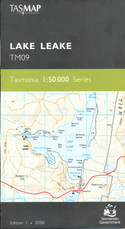
Lake Leake 1-50,000 Topographic Map Tasmap
$13.95
2 in stock
Description:
Lake Leake 1-50,000 Topographic Map Tasmap
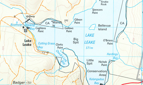
Lake Leake is the name of both a man-made water storage reservoir and a small township in the eastern midlands of Tasmania named after C H Leake. Lake Leake was created to supply power for nearby Campbell Town and is used for recreational trout fishing. The area was originally a wetland and was described by contemporary colonial British as a ‘resort of the natives’. The area contains remains of aboriginal artifacts and a quarry where the Peenrymairmemener crafted stone tools.
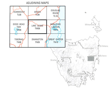
The west section of the map shows the townships of Campbell Town and Ross. Campbell Town was originally one of four garrison towns linking Hobart and Launceston while Ross was once the centre of trade for the surrounding district. One of Campbell Town’s features is the convict-built Red Bridge, the oldest bridge on the National Highway.
The design of the 1:50 000 Map Series provides clear and accurate portrayal of topographic information, with symbols and map content giving enhanced depiction of buildings, hill shading and a simplified classification of vegetation.
ISBN 9318923027839
| Product Number: | TM09 |
You may also like…
-
Tasmania North East 1-250,000 Map Tasmap
$13.95 – $25.95Select options This product has multiple variants. The options may be chosen on the product page -
Tasmania South East 1-250,000 Map Tasmap
$13.95 – $25.95Select options This product has multiple variants. The options may be chosen on the product page


