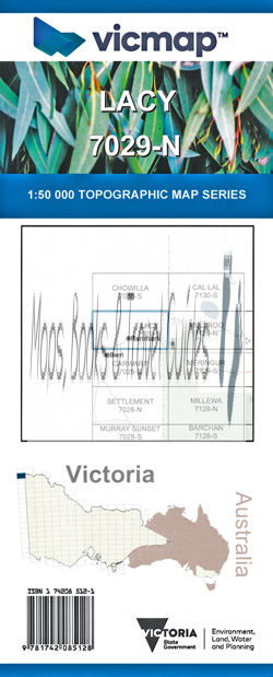
Lacy 1-50,000 Vicmap
$12.00 – $24.00
Description:
Lacy 1-50,000 scale Victorian Topographical map 7029N is used for Walking, 4WD, Fishing, Camping, Motorcycle, both On and Off Road, Gold Prospecting and for those simply going for a family weekend drive.
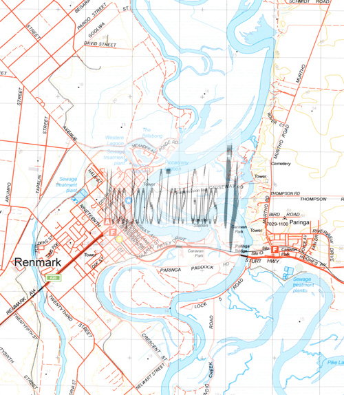
Topographical maps show not only Contours of the Terrain but Walking Tracks, Sealed and Unsealed Roads, Rivers, Creeks, Lakes, Historical Point of Interest, Old Mine Sites mbtg and both National and State Park areas.
Main Features of this map includes:
Renmark in South Australia, The Murray from the Victorian Border to past Renmark
Lake Meretti, edge of Woolpolool Swamp, Clover Lake, Boat Creek Swamp, part of Murray Sunset National Park, mbtg, Double Thookle Thookle Lagoons, Headings Cliff Lookout, part of Lindsay Point State Forest, part of Berribee State Forest, mbtg, Paringa, Nardoo Lagoon, Piccaninny Lagoon, Paringa Caravan Park, Paringa Bridge, Renmark Riverfront Holiday Park, mbtg, part of Lindsay Point State Foreast, part of Berribee State Forest, Pike Lagoon, Plushs Bend Camping Ground, mbtg, Wonauarra Track, part of Murray Sunset National Park, Nelwort Swamp, Clover Lake, Little Amalia Dam, Bald Hill Dam, East Tilmy Dam, Wertawert Dam, Boat Creek Swamp, Brandy Bottle Waterhole, Hancock Creek, Ruin old Coombool Homestead, Lake Limbra, Slaney Weir Billabong, Ruin (old Customs House)
You may also like…
-
Mullroo 1-50,000 Vicmap
$12.00 – $24.00Select options This product has multiple variants. The options may be chosen on the product page -
LACY NORTH 1-25,000 Vicmap Topographic Map 7029-1-N
$14.00 – $26.00Select options This product has multiple variants. The options may be chosen on the product page -
Lacy 1-50,000 Vicmap
$12.00 – $24.00Select options This product has multiple variants. The options may be chosen on the product page -
Wentworth 1-50,000 Vicmap
$12.00 – $24.00Select options This product has multiple variants. The options may be chosen on the product page -
Renmark 1-250,000 Topographic Map
$15.95 – $30.95Select options This product has multiple variants. The options may be chosen on the product page -
CHOWILLA SOUTH 1-25,000 Vicmap Topographic Map 7030-2-S
$14.00 – $26.00Select options This product has multiple variants. The options may be chosen on the product page -
LACY SOUTH 1-25,000 Vicmap Topographic Map 7029-1-S
$14.00 – $26.00Select options This product has multiple variants. The options may be chosen on the product page


