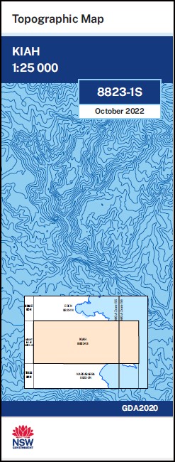
Kiah 1-25,000 NSW Topographic Map
$16.95 – $29.95
Description:
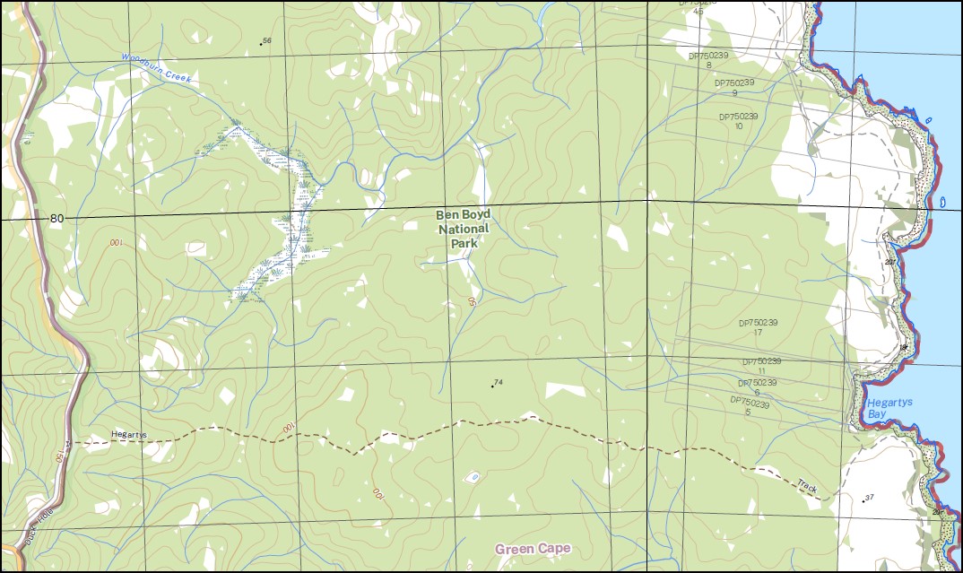
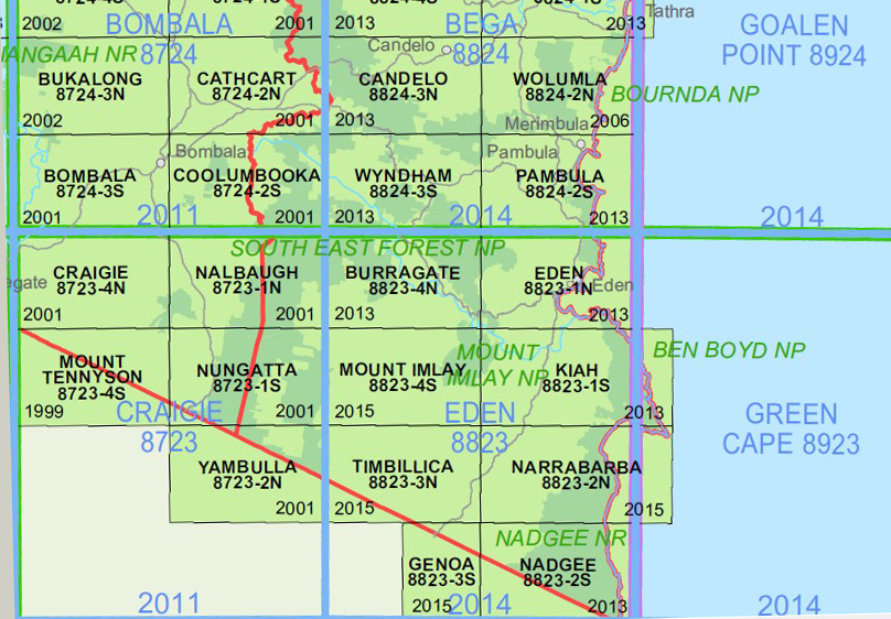
Kiah 1-25,000 NSW Topographic Map 8823-1-S Print on Demand
Part of the Wilderness Coast Walk
Also now available printed on Plastic Waterproof Paper Folded
This map includes the following localities: Wonboyn Lake Bittangabee Creek Broadwater Browning Hills Cochranes Creek Cochranes Flat East Boyd State Forest Gooyan Haycock Hill Kiah Long Swamp Creek Mount Imlay National Park Mount Imlay State Park Mowarry Mustering Ground Creek Narrabarba Creek Nullica Old Road Creek Paddys Point Round Hill Lookout Saltwater Creek Scrubby Creek Shelleys Creek Stanleys Creek Stevens Creek Upper Kiah Whelans Swamp Wonboyn Wonboyn River Woodburn Creek Bull Creek Beauty Point mbtg Edrom Green Cape Wonboyn North Leather Jacket Bay
| Scale: | 1:25000 |
| Latitude Range: | 37 07.5 S – 37 15.0 S |
| Longitude Range: | 149 45.0 E – 150 00.0 E |
| Approx Print Size : | 0.56m X 1.11m |
| Projection: | Transverse Mercator
GDA 2020 Edition 2022 |
Read More
You may also like…
-
Mallacoota 1-50,000 Vicmap
$12.00 – $24.00Select options This product has multiple variants. The options may be chosen on the product page -
Nadgee 1-50,000 Vicmap
$12.00 – $24.00Select options This product has multiple variants. The options may be chosen on the product page -
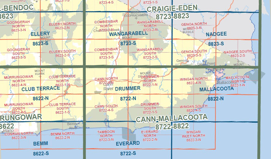
Narrabarba 1-25,000 NSW Topographic Map
$16.95 – $29.95Select options This product has multiple variants. The options may be chosen on the product page -
Nadgee 1-25,000 NSW Topographic Map
$16.95 – $29.95Select options This product has multiple variants. The options may be chosen on the product page -
Eden 1-25,000 NSW Topographic Map
$16.95 – $29.95Select options This product has multiple variants. The options may be chosen on the product page -
Mallacoota Merimbula Adventure Map Rooftop
$12.95 – $25.00Select options This product has multiple variants. The options may be chosen on the product page


