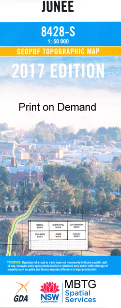
Junee 1-50000 NSW Topographic Map
$16.95 – $31.95
Description:
Junee 8428-S 1-50,000 scale NSW Topographical map is used for Walking, 4WD, Fishing, Camping, Motorcycle, both On and Off Road, Gold Prospecting and for those simply going for a family weekend drive.
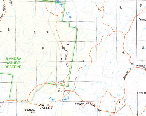
Topographical maps show not only Contours of the Terrain but also Walking Tracks, Sealed and Unsealed Roads, Rivers, Creeks, Lakes, Historical Point of Interest, Old Mine Sites and National and State Park areas.
 We can Now LAMINATE and fold your map for $12.00. Just click on the image and add to the Trolley
NOW AVAILABLE PRINT ON DEMAND
Locations within this Map
Junee Bethungra Baltimore Lake Bethungra Bethungra Public School Bethungra Railway Station Beveridge Billabong Creek Billabung Billabung Creek Boree Bough Yard Creek Broadway Park Bucks Creek Clarendon Claris Claris Creek Cooba Cooba Creek Cooba Mountains Eurongilly Eurongilly Creek Eurongilly Public School Ginendoe Hill Gwynne Harefield Harefield Public School Harefield Railway Station Horse Creek Illabo Illabo Dam Illabo Public School Illabo Railway Station Jeralgambeth Jeralgambeth Creek Junee Cemetery Junee High School Junee North Public School Junee Post Office Junee Public School Junee Railway Station Cooba Mountain Range Ginendore Creek Horse Gully Jewnee Kinvara Lapstone Creek Left Arm Creek Lofty Hill Mount Lofty Marinna Marinna Platform Marinna Railway Station Memorial Park Merrybundinah Merrybundinah Creek Millbank Mitta Mitta Mitta Mitta Creek Oak Hill Old Junee Old Junee Railway Station Pinnacle Hill Ponds Creek Reedy Creek Rock Creek Rocky Gully Creek Rocky Hill Sheridans Corner Sisters The Sisters South Junee Tenandra The Triangle Turveys Fall Turveys Fall Creek Ulandra Mount Ulandra Ulandra Nature Reserve Village of Ganmain Wandalybingel Creek Wantabadgery Wantiool Wantiool Creek Ward Wattle Valley Yellow Creek Bullocky Hill Dry Creek Burnt Creek Burra Creek Mount Burra Butlers Gully Oak Hill Creek Waterfall Creek Junee Park The Basin The Spiral Ulandra Creek Ironbong Creek Junee Junction Glen Iris Yammatree
| Name: | Junee |
| Publisher: | New South Wales Government |
| Scale: | 1:50000 |
| Latitude Range: | 34° 45.0′ S – 35° 0.0′ S |
| Longitude Range: | 147° 30.0′ E – 148° 0.0′ E |
| Datum: | GDA 94 |
Print on Demand


