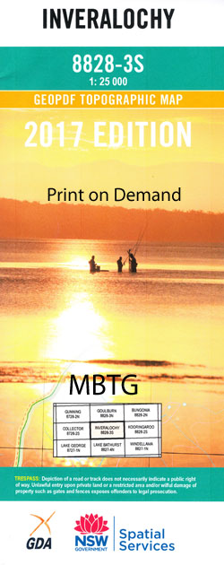
Inveralochy 1-25,000 NSW Topographic Map
$16.95 – $31.95
Description:
8828-3-SPrint on Demand
Locations within this Map
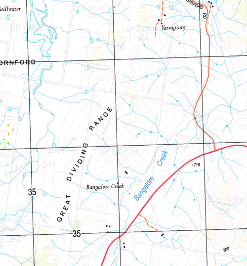
Bangalore Creek Brown Carneys Creek Clanceys Creek Covan Covan Creek Currawang Deep Gully Flat Creek Gordons Creek Lake Irwin Currowang Flat Gully Gordons Gully Inveralochy Railway Station Inveralochy Siding Komungla South Lake Bathurst Cemetery Long Gully Mangamore Merigan Creek Mulwaree Ponds or Creek Mulwaree River Nannys Creek The New Country Water-Holes Paddy Ryans Creek Paton Reedy Creek Reedy Gully Rose Lagoon Ryan Saltpetre Creek Springfield Springfield Public School Spring Valley Spring Valley Creek Tarago Tarago Creek Tarago Lagoon Telegraph Hill Trinton Park Creek Willeroo Willow Tree Creek Wollogorang Inveralochy Bullamalito Quialigo The Hermitage
| Name: | Inveralochy |
| Publisher: | New South Wales Government |
| Scale: | 1:25000 |
| Latitude Range: | 34° 52.5′ S – 35° 0.0′ S |
| Longitude Range: | 149° 30.0′ E – 149° 45.0′ E |
| Datum: | GDA 94 |
| Approx Print Size: | 0.56m X 1.11m |
Read More