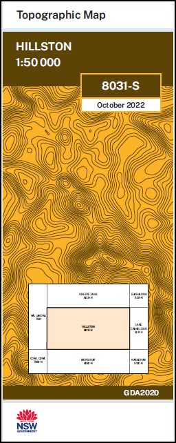
Hillston 1-50,000 NSW Topographic Map
$16.95 – $28.95
Description:
Hillston 8031S 1-50,000 scale NSW Topographical map is used for Walking, 4WD, Fishing, Camping, Motorcycle, both On and Off Road, Gold Prospecting and for those simply going for a family weekend drive.
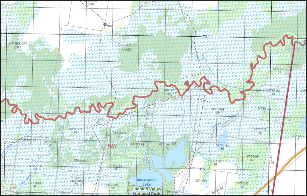
Topographical maps show not only Contours of the Terrain but also Walking Tracks, Sealed and Unsealed Roads, Rivers, Creeks, Lakes, Historical Point of Interest, Old Mine Sites and National and State Park areas.
NOW AVAILABLE PRINT ON DEMAND
Part of the Lachlan River
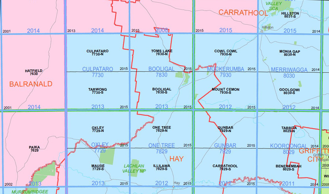
Locations within this Map
Valroona Tocabil Weenya Riama Moora Farm Wilga Farm Hunthawang Willanthry Merrowie Dalkeith Waabalong Lancoona Billobourie Wyola Mountain Creek Mittagong Stobhall Langlea Lakemba Coolibah Wilga Glen Tara Glenmore Myrtnah Weeona Ballyrogan Glenwood Warilda Forest Vale Rivernook Rosemont Long Plain Kanangra Merrigong Mactocton Pine Park Burilda Wando Dale Glenalvon Pine Ridge Yarrawa Hillston Ballyrogan Channel Ballyrogan Gap Bally Rogan Gap Bellingerambil Bellingerambil East Lake Brewster Brewster Weir Carilla Eaglehawk Hill East Marowie Gonowlia Weir Gum Swamp Gum Swamp Gully Hertel Hillston Aerodrome Hillston Cemetery Hillston Central School Hillston Post Office Hillston Railway Station Hillston State Forest Hillston Weir Huntawong Island Creek Daisy Hill The Gum Swamp Gum Creek Gum Swamp Creek Hillston North Town of Hillston North Town of Hillston Hillston Public School The Island Creek Lachlan Range Lanes Bridge Loughnan Middle Billabong Weir North Merrowie Redbank Redbank Corner South Marowie Tootawootongama Torcobil Tutigong Gap Tutigong Hill Tuti Wollongong Gap Mount Waabalong Walanthry Wallanthry Wallanthery Wallanthery Gap West Orange Public School Willandra National Park Wallandra Weir Willanthery Willanthry Weir Lake Woorabinda Burranawreath Hillston Reservoir Buckley Uranaway Gonowlia Narralin Nellywanna Wrightville Middle Billabong Creek North Marrowie Lake Ballyrogan
| Name: | Hillston |
| Publisher: | New South Wales Government |
| Scale: | 1:50000 |
| Latitude Range: | 33° 15.0′ S – 33° 30.0′ S |
| Longitude Range: | 145° 30.0′ E – 146° 0.0′ E |
| Datum: | GDA 2020 |
You may also like…
-
Cowl Cowl 1-50000 NSW Topographic Map
$16.95 – $28.95Select options This product has multiple variants. The options may be chosen on the product page -
Monia Gap 1-50,000 NSW Topographic Map
$16.95 – $31.95Select options This product has multiple variants. The options may be chosen on the product page -
Lachlan River 1-50,000 and 1-100,000 Topographic Map Set
$130.00 – $220.00Select options This product has multiple variants. The options may be chosen on the product page


