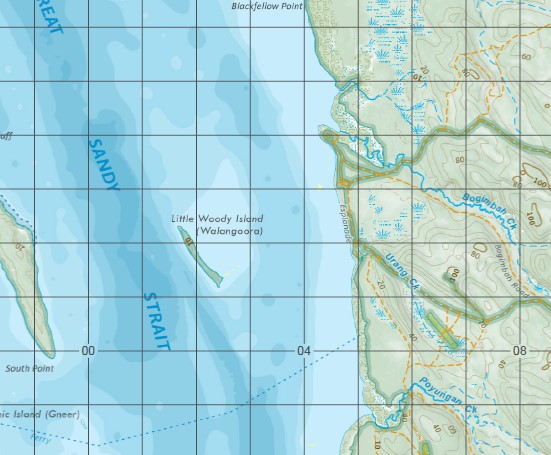
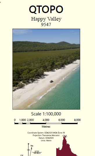
Happy Valley 1-100,000 Topographic Map
$15.95 – $30.95
Description:
Locations within this Map
Akuna Creek Allom Lake Arch Cliff Awinya Creek Balarrgan Lake Barga Basin Lake Beemeer Bennet Creek Bimjella Hill Lake Birrabeen Black Creek Black Lagoon Blackfellow Point Bogimbah Creek Boomerang Lakes Boon Boon Creek Bowal Creek Bowarrady Bowarrady Creek Lake Bowarrady Burrgum Hill Central Forest Station Chard Rocks Coomboo Lakes Coondagarramine Creek Coongul Creek Coongul Point Coonoagarramine Creek Coorong Creek Corroboree Beach Deepwater Lake Dipuying Duck Island Dundonga Creek Dundubara Creek Eli Creek Enchanted Valley Fraser Island Freshwater Lakes Lake Garawongera Lake Geeoong Lake Gnarann Happy Valley Happy Valley Creek Hidden Lake Indian Head Lake Jennings Kirrar Koorooman Kurrnung Creek Leading Hill Little Duck Island Little Woody Island Maheno Beach Lake McKenzie Meereenyoor Creek Mooan Moonbi North White Cliffs Nulla Kunggur Nulwarr Hill One Tree Rocks Pine Valley Poyungan Poyungan Creek Poyungan Rocks Poyungan Valley Puthoo Creek Rainbow Gorge Running Creek Salt Creek Sandy Point Seventy Five Mile Beach Tenimby Creek The Cathedrals The Pinnacles Tooleenba Creek Towoi Creek Towoi Swamp Triangle Cliff Tukkee Tyroom Roads Urang Creek Lake Wabby Wathumba Lake White Woralie Creek Wyuna Creek Yathon Cliffs Yeenyargoor Creek Yidney Creek Yidney Lake Pile Valley The Declivity Fraser Island Hervey Bay City Fraser North Triangle Cliff Triangle Cliffs Arch Cliffs Lake Bowarrdy Moon Point Great Sandy Island Boomerang Hill Bogumbah Creek Tree Creek Mangrove Creek Rocky Creek Duck Islands Little Creek Tyroom Road Seventy-Five Mile Beach
| Name: | 9547 |
| Publisher: | Queensland Government |
| Scale: | 1:100000 |
| Latitude Range: | 25° 0.0′ S – 25° 30.0′ S |
| Longitude Range: | 153° 0.0′ E – 153° 30.0′ E |
| Projection / Datum: | Universal Transverse Mercator, GDA 94 |
| Approx Print Size: | 0.56m X 0.56m |


