Greenland and the North Pole Map ITMB
$24.95
2 in stock
Description:
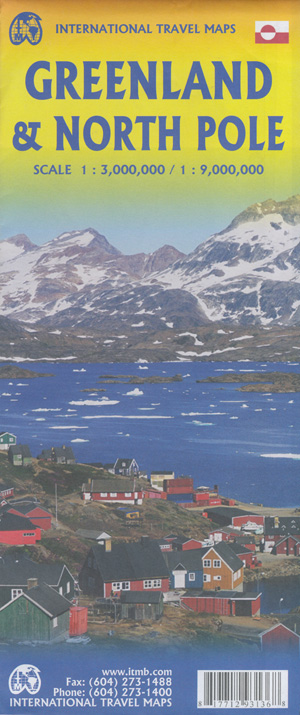
Greenland and the North Pole Map ITMB
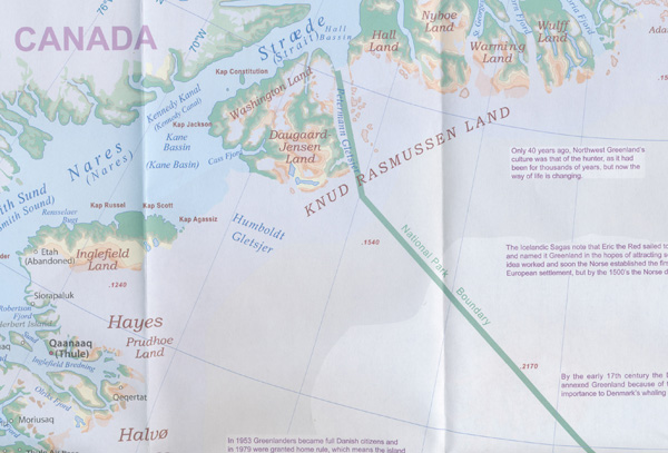
Greenland is indeed a fascinating place to visit. Granted, much of it consists of inaccessible Icefields that, if they melted, would detrimentally raise ocean levels to catastrophic levels. The coastal regions are, however, inhabited, and it is possible to fly in or take an adventuresome cruise with Linblad and visit the giant island. Three-quarters of Greenland lies above the Arctic Circle and ice bergs carved out of the many slowly-moving rivers of ice are commonplace in the North Atlantic. Due to sea ice, the notable attractions of the island tend to be concentrated in the southern third.
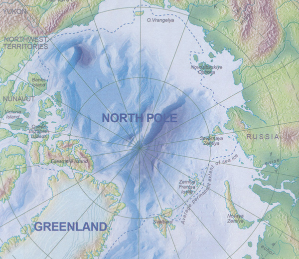
The original settlers are not the Norse, but Inuit peoples who migrated eastwards from what is now Canada’s northland. Although the area has been a Danish possession for centuries, only the relatively narrow Nares Strait separates it from Canada’s Ellesmere Island, and the famous Thule Air Force base is considerably south of Alert, Nunavut. The second side of the sheet is a separate map of the entire North Polar Region, centred on the true North Pole itself. The Polar Region consists of everything north of the Arctic Circle, but this map extends the concept southward to the 55th parallel, thereby including all of Scandinavia, including Denmark, as well as all of northern Canada, northern Russia, Greenland, Iceland, Alaska, and even Scotland, Estonia, and Latvia. A tiny portion of Ireland and a goodly chunk of Belarus also fall into the range of this map, which is very interesting, and is unique. No other such map exists. It was prepared by the Canada Map Office as a project and is used here with permission. Believe it or not, as a result, this map is copyright by the Queen, as are all government maps produced in Canada.
I think that’s a nice touch for an international map! Being a circular projection, the printing is from Canada at the ‘bottom; thus, the place names for Russia and Scandinavia are oriented from the perspective of a wall map. In other words, nomenclature is consistently downwards, not circular, so if the map is rotated, Russian place names would be upside down. The significance of this map cannot be understated. It is the only one ever prepared as a survey-specific quality of every nation on earth that could consider itself ‘polar’. Its scale prevents undue detail, but we have noted a short series of trivia points of note, such as the difference between true north and the magnetic pole, or the largest urban area in the region (Murmansk), or the location of the most northerly known thermal hot spring (Alaska). The urban area closest to the North Pole is Alert, at the top end of Canada’s Ellesmere Island, at about the 83rd parallel. Both these maps are so interesting that they are easy sells. The cover is double-sided, so can be presented on retail shelves either with Greenland outwards, or North Pole outwards. Either way, it sells. Enjoy!
ISBN 9781771293136


