Greece and the Islands Map Marco Polo
Description:
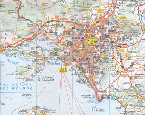
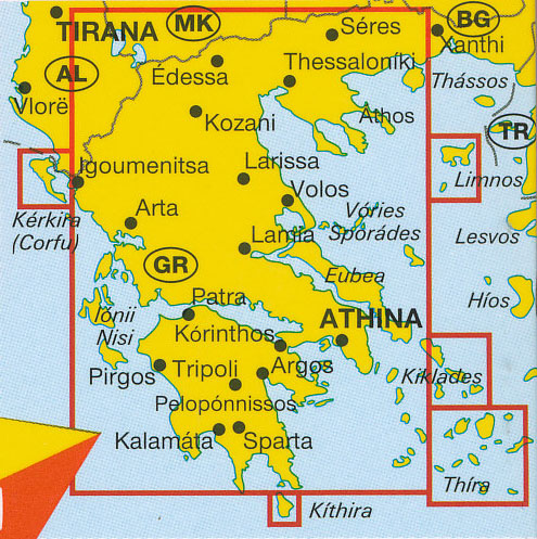
Greece and the Islands Map Marco Polo features completely up-to-date, digitally generated mapping. The high quality cartography with distance indicators and scale converters aid route planning. The extensive coverage of the maps enables travellers to cross country boundaries with the same map. A fold-out overview map is ideal for route planning and 7 self-adhesive Marco Polo mark-it stickers can be used to pin-point a destination or route for future reference. Scenic routes and places of interest are highlighted – ideal for touring holidays. Coverage includes the mainland, Cyclades, Corfu and Sporades. City maps of Athens and Thessaloniki. Comprehensive index. The map scale is 1: 300 000.
- Published: 14 February 2012
- Format:“Sheet map, folded”
- ISBN 13: 9783829767095
- ISBN 10: 3829767099
Read More


