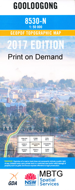
Gooloogong 1-50000 NSW Topographic Map
$16.95 – $31.95
Description:
Gooloogong 8530-N 1-50,000 scale NSW Topographical map is used for Walking, 4WD, Fishing, Camping, Motorcycle, both On and Off Road, Gold Prospecting and for those simply going for a family weekend drive.
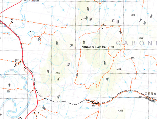
Topographical maps show not only Contours of the Terrain but also Walking Tracks, Sealed and Unsealed Roads, Rivers, Creeks, Lakes, Historical Point of Interest, Old Mine Sites and National and State Park areas.
 We can Now LAMINATE and fold your map for $12.00. Just click on the image and add to the Trolley
NOW AVAILABLE PRINT ON DEMAND
Locations within this Map
Devlin Nanima Clarendon Innisfail Prarie Home Wilverlyn Lancefield Choubra Woodbine Springfield Gleenwood Sylvania Rendevous Driftwater Warrawee Garrawilli Norton Sugarloaf Currawong East Lynn Fairfield Dundee Kaloola Noola Blairgowrie Dunromin Pinetree Greenslopes Richlands Hillview Tullyvea Pineview Glenpark Binnalong Happy Valley Glenleigh Careena Fineview Lancewood Mylandra Park Moyne Farm Loch Lomond Toft The Treasury Bodella Groote Park Kangarooby Kanowna Dalkeith Wandoo Oaklands Deloraine Coorong Park Noonbah Umaria Clavering Westfield Pinnicle Glenelg Wattle Villa Heinemo Gooloogong Bald Hill Bald Hill Creek Bald Hills Creek Bandon Bangaroo Barabigal Barwigie Barwigie Hills Birangan Binda Braulin Clear Hills Flat Rock Hill Forbes Forming Creek Geradon Gooloogong Post Office Gooloogong Public School Goonigal Goonigal Creek Grawlin Grawlin Plain Hill Sixty Hunter Creek Jump Up Creek Kangarooby Creek Kangarooby Mountain Kapunda Creek The Flat Rock Hill Geradan Siding Goolagong Public School Granlin Granlin Plain Hill 60 Hunter Gully Creek Jump Up Gully Kangaroobby State Forest Mares Waterhole Maudry Maudry State Forest Mortray Mortray Hill Mulyandry Mulyandry Creek Mulyandry State Forest Mylandra Creek Nanami Nanami Railway Station Nanami Sugarloaf Native Dog Creek North Gooloogong Old Mans Springs Oma Creek Public School Ooma Creek Ooma Ooma North Public School Weddin Creek Peaks Creek Pipe Clay Creek Priddles Reserve Red Cliff Mountain Redcliff Red Creek Red or Erasa Creek Rocky Hill Spring Creek Stump Hole Creek The Sugarloaf The Bald Hill The Mulyandry State Forest Thurungle Two Mile Creek Wallah Wallah Warraderry Warraderry Creek Warraderry National Forest Warraderry Range Warraderry State Forest Warroomby Creek Warroombey Mountain Warroombey Range Warrumba Creek Warrumba Mountain Warrumba Range Warrumbah Mountain Waterhole Point Wenz Wheoga Woondamaroo or Diggers Creek Diggers Creek Cootamundra Racecourse Washpool Dam Graulin Plain Grawlin Plains Back Creek Warroomby Mountain Vi Adams Park Cootamundra Apex Park Mandagery Creek Horseshoe Lagoon Rocky Peak Goonigaldeerigang Creek Namani Sugarloaf Erasa Creek Boyd Creek Belubula River Spring Station Creek Waroomby Mountain Barabigal Mountain Priddles Tank Hunter Gully
| Name: | Gooloogong |
| Publisher: | New South Wales Government |
| Scale: | 1:50000 |
| Latitude Range: | 33° 30.0′ S – 33° 45.0′ S |
| Longitude Range: | 148° 0.0′ E – 148° 30.0′ E |
| Datum: | GDA 94 |


