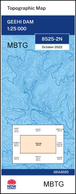
Geehi Dam 1-25,000 NSW Topographic Map
$16.95 – $29.95
Description:
Geehi Dam 1-25,000 NSW Topographic Map 8525-2-N Print on Demand 2022 Edition
Geehi Dam 85252N 1-25,000 scale NSW Topographical map is used for Walking, 4WD, Fishing, Camping, Motorcycle, both On and Off Road, Gold Prospecting and for those simply going for a family weekend drive.
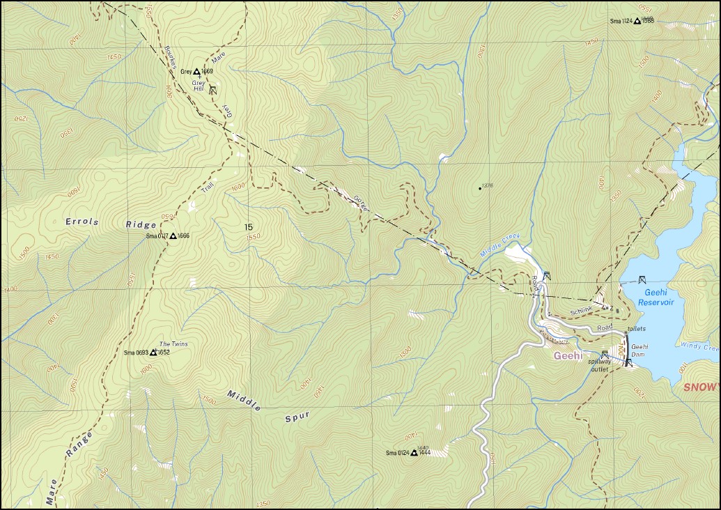
Topographical maps show not only Contours of the Terrain but also Walking Tracks, Sealed and Unsealed Roads, Rivers, Creeks, Lakes, Historical Point of Interest, Old Mine Sites mbtg and National and State Park areas.
Now also available on Waterproof Plastic Paper Folded
Main Features of this map includes:
AAWT Geehi Reservoir and Geehi River Part of the Snowy River Grey Mare Track (part of the Alipine Walking Track) Perisher Camp Snowy River and Island Bend Pondage Stonehenge The Granite Peaks Mount Anderson Alpine View Alpine View Hill Adit Camp Bakers Creek Bar Ridge Bella Vista Blue Cow Mountain The Blue Cow Mount Claymore Creek Consett Stephen Pass Daners Creek Dainers Gap Enids Creek Errols Ridge Falls Creek Farm Creek Finns River Finns Swamp Geehi Dam Geehi Gorge Geehi Reservoir Geehi River Gills Knobs The Granites Green Knob Green Rock Grey Grey Hill Grey Mare Creek Grey Mare Grey Mare Mountain Gungartan Gungartan Pass Guthega Guthega Pondage Guthega River Island Bend Island Bend Pondage Kerries Ridge Kerry View Hill Daniers Gap Errols Spur Finns Creek Gills Knob Guthega Pondage Dam Guthega Tate Ridge The Kerries Kerry View Leaning Rock Falls Little Diggers Creek The Little Gorge Mann Bluff Maria Creek Middle Creek Middle Spur Mitchell Mount Tate Munyang Munyang River Munyang Tate Ridge Olsens Lookout Perisher Camp Plains of Heaven The Plains of Heaven Mount Porcupine Porcupine Spur Robertsons Ridge Rocky Plain Creek The Rolling Ground Schlink Pass Siren Song Creek Snowy Mountains Stonehenge Sullivan Spur Mount Sunrise Swampy Plain River Tate Tate East Ridge Tate West Ridge The Blue Cow The Glade The Granite Peaks The Kerry The Long Corner The Waterfall Three Mile Glen Three Rocks Creek Tolbar Creek Tollbar Creek Trefle Park Twins Creek The Twins Verandah Creek Watsons Creek Windy Creek Dicky Cooper Bogong Dicky Cooper Creek Diggers Creek Dinner Flat The Devils Staircase Disappointment Ridge Disappointment Spur Dainers Creek Daners Camp
| Scale: | 1:25000 |
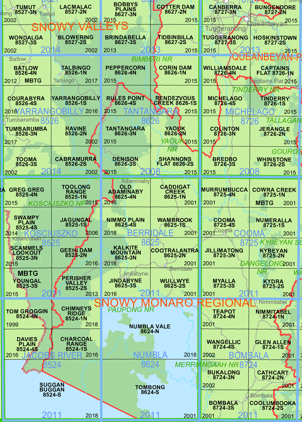
| Latitude Range: | 36 15.0 S – 36 22.5 S |
| Longitude Range: | 148 15.0 E – 148 30.0 E |
| Approx Print Size: | 0.56m X 1.11m |
| Projection: | Transverse Mercator
GDA 2020 Edition 2022 |
You may also like…
-
Australian Alpine Walking Track Map Set 2
$425.00 – $625.00Select options This product has multiple variants. The options may be chosen on the product page -
Perisher Valley 1-25,000 NSW Topographic Map
$16.95 – $29.95Select options This product has multiple variants. The options may be chosen on the product page -
Jagungal 1-25,000 NSW Topographic Map
$16.95 – $29.95Select options This product has multiple variants. The options may be chosen on the product page -
Australian Alpine Walking Track Map Set 1
$390.00 – $600.00Select options This product has multiple variants. The options may be chosen on the product page


