Flinders Island 1-50,000 Topographic Map Set Tasmap
$38.00
Description:
Flinders Island 1-50,000 Topographic Map Set Tasmap
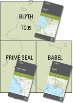
This set includes three 1:50 000 maps – Blyth, Prime Seal and Babel – which give the map user complete coverage of Flinders Island. This more detailed map set replaces the old 1-100,000 which covered the Island
The design of the 1:50 000 Map Series provides a clear and accurate portrayal of topographic information, with symbols and map content giving enhanced depiction of buildings, hill shading and a simplified classification of vegetation.
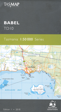
BABEL
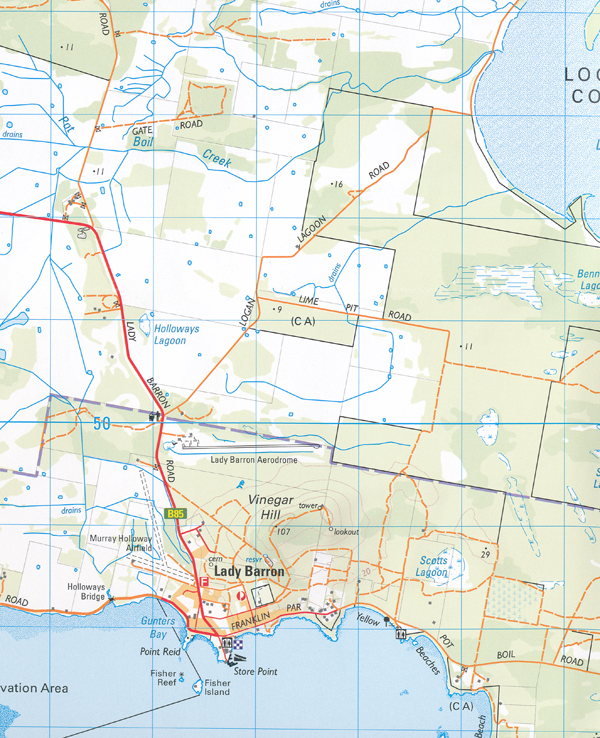
This map covers the south eastern area of Flinders Island. The highest point in the Furneaux Group, Strzelecki Peaks (782m) in the Strzelecki National Park, rises out of the surrounding flat lands. Bounded on the eastern side by Planter Beach, a network of lagoons and inlets lie within Sellars Lagoon Game Reserve and Logan Lagoon Conservation Area. The Darling Range offers walkers a challenging traverse, while The Patriarchs provides visitors close-up encounters with abundant wildlife. Lady Barron township is located on Franklin Sound opposite Great Dog, Vansittart and Cape Barren Islands. This map is a great resource for those wishing to explore this part of Flinders Island and its stunning vistas and locations.
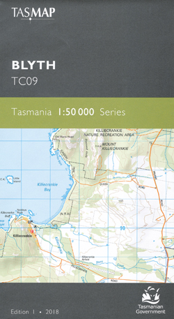
BLYTH
This map covers the northern part of Flinders Island, along with the outlying Inner and Outer Sister Islands. Flanked on the eastern side by the seemingly endless Foochow Beach, North East River is a popular destination for swimming, surfing, fishing and birdwatching. The river flows from the Wingaroo Nature Reserve through tidal wetlands to the northernmost tip.
The idyllic settlement of Killiecrankie on the west coast is famous for the occurrence of topaz, known locally as ‘Killiecrankie diamonds’. With spectacular scenery, extensive coastal bushwalking, leisure and fishing opportunities, this map is an essential navigational aid for this area.
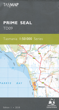
PRIME SEAL
The map covers the central western area of Flinders Island and numerous offshore islands and island groups, the largest being Prime Seal Island. From the much visited Trousers Point in the south, to the main commercial and cultural centre of Whitemark with its nearby airport, northwards to the coastal village of Emita, the area is rich with history and stunning sheltered beaches and bays. This is an ideal map for holiday makers and visitors exploring the numerous conservation areas.
| Production Year: | 2018 |
| Datum: | Geocentric Datum of Australia 1994 (GDA94) |
| Scale: | 1:50000 |

