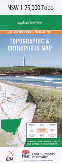
Duri 1-25,000 NSW Topographic Map
$16.95
Description:
9035-1-S
This map includes the following localities: Bithramere Glenmore Rockleigh Ardenvale Pine Lodge Glenholme Hillcrest Kimeridge Kemendine Hillsia Callen Dale Kingswood Glendore Cooramulla Talawahl Kildare Wimmera Hyland Myona Hillview Kalunga Lynden Park Nundi Woodville Stud Barona Dunreath Rosebank Mandowa Mallawa Yarunga Glenburnie Hereford Romani Penlee Glenroy Kelso Euroka Wirrialpa Carinya Clarefields Ingledene Rockdale Apple Grove Belmore Highwood Forrest Falls Glenrock Hilltop Ivanhoe Bahreenah Round Hill Ascot Glenore East View Nardoo Macfeld Forest Vale Alpha Spring Valley Lenore Loomberah Kurrajong Duri Buckley Gully Calala Calala Creek Clay Creek Mount Cobla Duri Bore Duri Creek Duri Public School Duri Railway Station Farrer Memorial Agricultural High School Goonang Creek Goonoo Goonoo Clay Gully Duri Well Lambruk Creek Long Gully Loomberah Monk Park Oxley Vale Public School Rocky Waterhole Sugarloaf Gully Timbumburi Timbumburi Public School Turi Gully Warral Warral Railway Station Village Park Kingswood Park
| Scale: | 1:25000 |
| Latitude Range: | 31 07.5 S – 31 15.0 S |
| Longitude Range: | 150 45.0 E – 151 00.0 E |
| Approx Print Size: | 0.56m X 1.11m |
| Projection: | Transverse Mercator |

