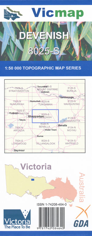
Devenish 1-50,000 Vicmap
$12.00 – $24.00
Description:
Devenish 1-50,000 scale Vicmap Topographical map 8025S is used for Walking, 4WD, Fishing, Camping, Motorcycle, both On and Off Road, Gold Prospecting and for those simply going for a family weekend drive.
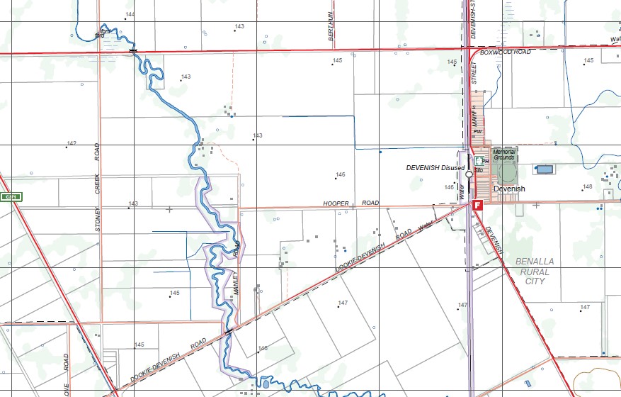
Topographical maps show not only Contours of the Terrain but Walking Tracks, Sealed and Unsealed Roads, Rivers, Creeks, Lakes, Historical Point of Interest, Old Mine Sites mbtg and National and State Park areas.
Main Features of this map include:
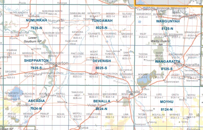
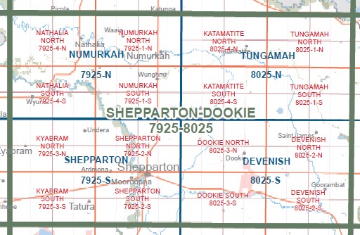
Devenish, Dookie and Upotipotpon towns Broken River, Mount Major, Pine Lodge, Goorambat, Saint James, Yundool, St James, WATTVILLE. WATTVILLE NFR, Major Plains, Boxwood, Nooramunga, ROWAN SWAMP. Lake ROWAN, mbtg, Goorambat, Stewarton, Koonda, Paddys Plains, Major Plains, Cowans Floodway, Goomalibee, Broken Creek Bush Camp, Broken Creek, Nooramunga, CASEYS WEIR HP, Gum Swamp, Chesney, BUNGEET, MOUNT MEG NCR
Dookie, Pine Lodge, Pine Lodge Rail Disused, Marionvale, Mount Major, Channel Station Rail Line, Katandra, Cosgrove, YABBA SOUTH NCR, DOOKIE – KATAMATITE RAIL LINE BR, Yabba South Station Disused, mbtg, KIALLA East, Nalinga, BROKEN RIVER KEADYS BRIDGE SSR, Irish Creek, Tamleugh North, Pine Lodge South, CANIAMBO SOUTH NCR, Holyland Plain, GOWANGARDIE, COSGROVE SOUTH, Daintons, Congupna Creek, KOONDA, Nalinga Bridge, Dookie College
You may also like…
-
DOOKIE SOUTH 1-25,000 Vicmap Topographic Map 8025-3-S
$14.00 – $26.00Select options This product has multiple variants. The options may be chosen on the product page -
Arcadia 1-50,000 Vicmap
$12.00 – $24.00Select options This product has multiple variants. The options may be chosen on the product page -
Benalla 1-50,000 Vicmap
$12.00 – $24.00Select options This product has multiple variants. The options may be chosen on the product page -
Wahgunyah 1-50,000 Vicmap
$12.00 – $24.00Select options This product has multiple variants. The options may be chosen on the product page -
Shepparton 1-50,000 Vicmap
$12.00 – $24.00Select options This product has multiple variants. The options may be chosen on the product page -
Moyhu 1-50,000 Vicmap
$12.00 – $24.00Select options This product has multiple variants. The options may be chosen on the product page -
DEVENISH NORTH 1-25,000 Vicmap Topographic Map 8025-2-N
$14.00 – $26.00Select options This product has multiple variants. The options may be chosen on the product page -
Tungamah 1-50,000 Vicmap
$12.00 – $24.00Select options This product has multiple variants. The options may be chosen on the product page -
Wangaratta 1-50,000 Vicmap
$12.00 – $24.00Select options This product has multiple variants. The options may be chosen on the product page -
DEVENISH SOUTH 1-25,000 Vicmap Topographic Map 8025-2-S
$14.00 – $26.00Select options This product has multiple variants. The options may be chosen on the product page -
Numurkah 1-50,000 Vicmap
$12.00 – $24.00Select options This product has multiple variants. The options may be chosen on the product page -
DOOKIE NORTH 1-25,000 Vicmap Topographic Map 8025-3-N
$14.00 – $26.00Select options This product has multiple variants. The options may be chosen on the product page


